The White Dot trail may be quickest and the most hiked route at Monadnock State Park; however my favorite hike, by far, is a combination of multiple trails which wind up the side of the mountain to the summit.
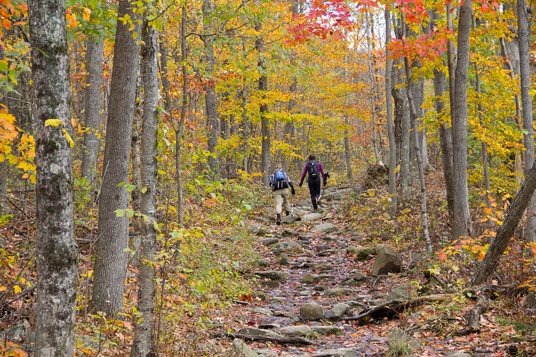
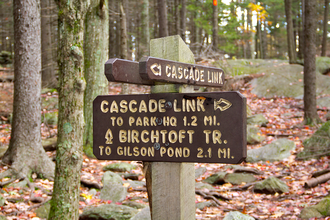
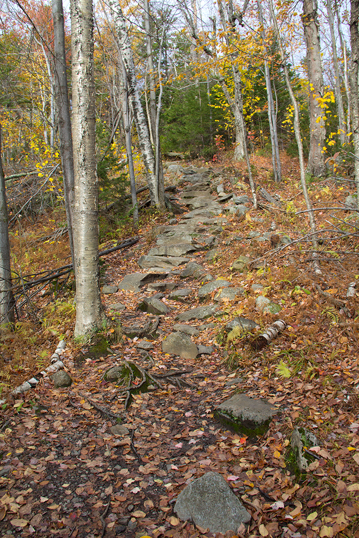
Like most visitors my journey begins on the White Dot trail. First stop is at Falcon Springs, where I fill up my water bottles. This spring is a neat underground water source about 2/10 of the way on the White Dot trail, a fantastic means of rehydrating (Please note: water at Falcon Spring is not tested). Not far from this point, a couple meters up, signs for the Cascade Link trail veer off to the right. With less foot traffic it is narrow but gorgeous with vibrant array of red, yellow, and orange deciduous trees. With autumn here, leaves are nearing their peak colors. As I continued hiking up the Cascade Link trail it intersects with the Red Spot trail.
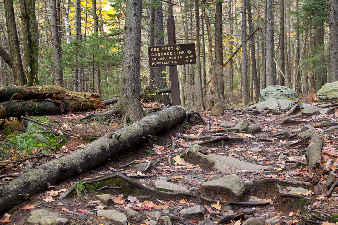
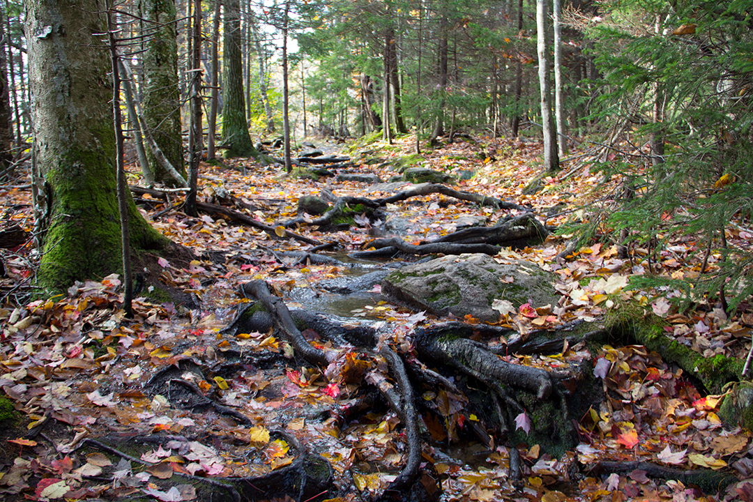
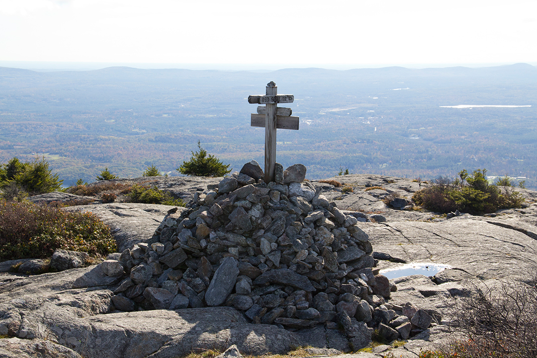
Climbing the Red Spot trail is about the same steepness or perhaps less than the White Dot trail. The terrain varies with enormous Yellow Birch trees clinging to boulders along the way. Their roots provide great assistance as useful grips and footholds. Just past the Yellow Birches and leaving the deciduous forest, confers take over the alpine landscape. At this altitude the air is moist with the strong aroma of Red Spruce. A good sign that I have nearly reached halfway, I continue to push forward. The end of the Red Dot trail finishes at the intersection of the Pumpelly trail.
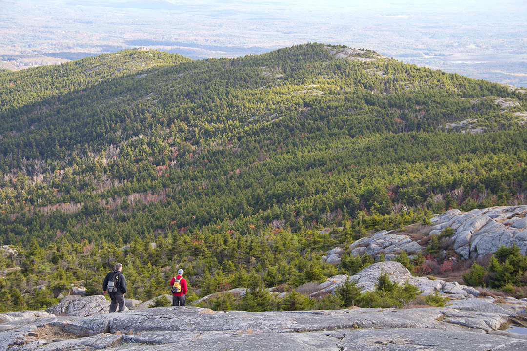
Following the Pumpelly trail to the summit, the tree-line breaks and an abundance of shrubs and stunted trees emerge. At this point I was about 25 minutes from the summit, the climate started to change drastically. No longer protected by forest, wind whipped across my face. It felt great for the first couple minutes but I realized I was getting cold quick. Putting on my sweater I continued up to the summit. I must have walked 15 minutes before I could hear the summit then see it. Groups of people stood and sat, talking, and silently while enjoying their experience at the summit.
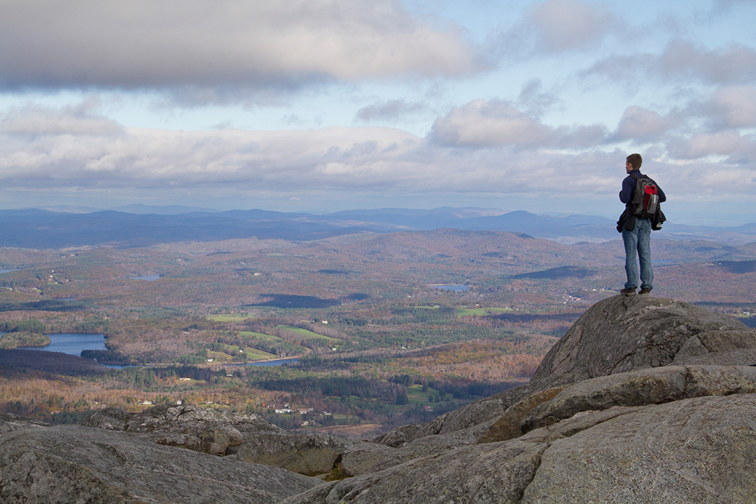
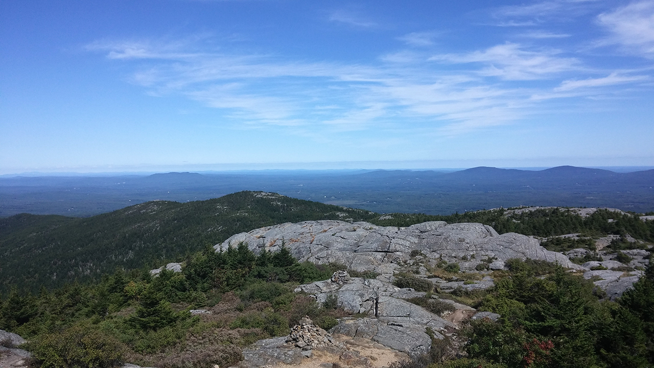
After a quick snack, I hauled myself up for the final push and made it to the summit. It was gorgeous and I could see far as 60 miles in all directions. The sun was out and the landscape was fully revealed. It’s truly a great place to escape modern interventions. In every sense I felt down to earth atop a mountain! I didn’t want leave but like all the visitors here, I knew I would return, again and again!
By: Luis Nandall, Interpretive Ranger at Monadnock State Park
Thank you. My favorite trails, too.
Great article about the trails in Monadnock State Park. The trails and the park shows the real beauty of New Hampshire.
Very well written and nice to read. The pictures are absolutely stunning!
Keep up the good work!