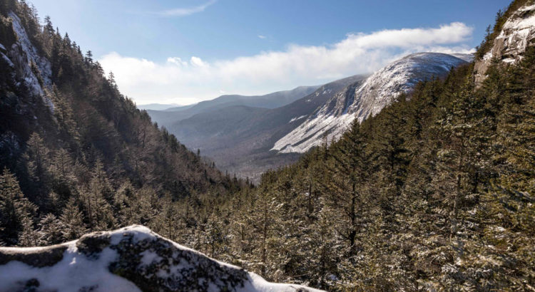
While Franconia Notch remains one of the most popular hiking destinations in the state – there are still a few under utilized and less appreciated routes offering the same spectacular scenery this park is known for. One example is the hike up to Eagle Pass which brings you to a an extraordinary view near the base of Eagle Cliff without having to summit Mt Lafayette or even climb above tree line.
Of course, in winter, underutilized trails can have the disadvantage of not have been packed out by other hikers – meaning there is a good chance you’re going to stomp through deep snow and break the trail yourself (which was the case when I went). It also means you’ll have to pay close attention to where you’re going, keep an eye out for blazes and carefully observe the direction of the trail.
Even after forging through deep snow and struggling up a few steep sections – the view from Eagle Pass is remarkably unique and well worth the exertion. However, because of the conditions just mentioned I would rate this hike as moderate to difficult (whereas in the summer it would be accessible to less experienced hikers). While the trail starts with a gradual incline, once it turns upwards the switchbacks can be strenuous (especially if the trail is unbroken).
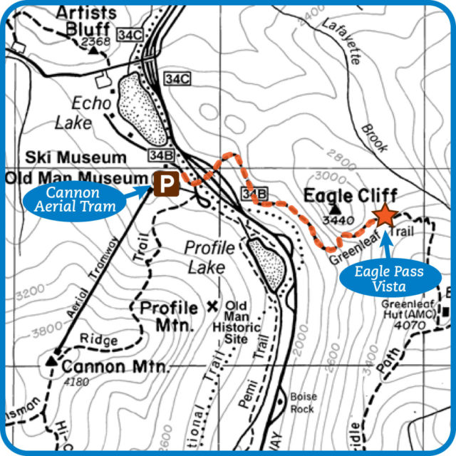
Eagle Pass Hike Info:
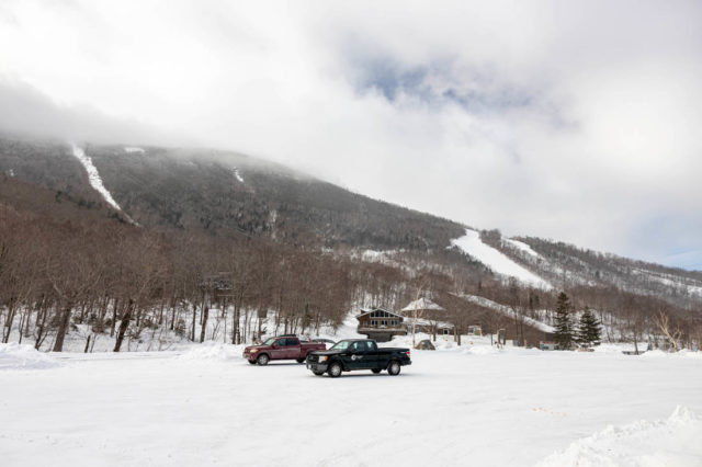
- Parking/Starting Point – Cannon Mountain Aerial Tramway Parking Lot (Exit 34B)
- Distance to Eagle Pass Vista – 1.6 Mile or approximately 3.4 miles roundtrip. (You can expect roughly 1.75-2.5 hours of total hiking time depending on abilities)
- Difficulty – Moderate to Difficult (micro spikes highly recommended – trekking poles and/or snowshoes may be helpful as well)
- Navigation – Follow the Greenleaf Trail (Pay attention! Blue blazes are faint.). Note: cell service is spotty in the notch but you may benefit from using an app such as AllTrails which can show your positioning in relation to the trail (especially in the first half of the hike).
- Trail Map – Franconia Notch State Park
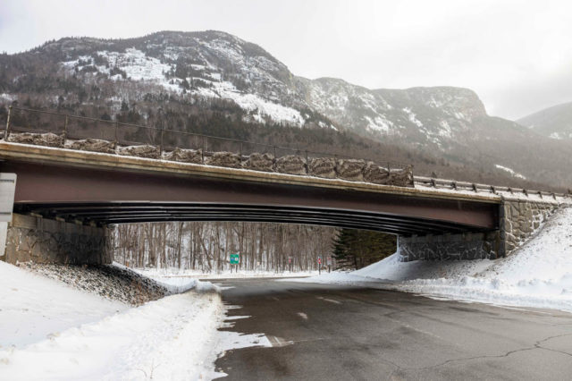
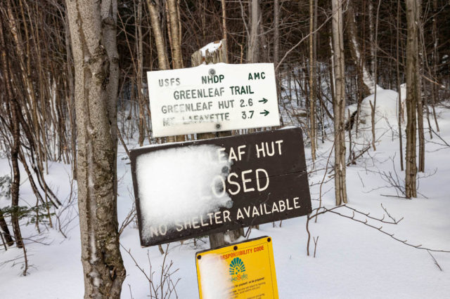
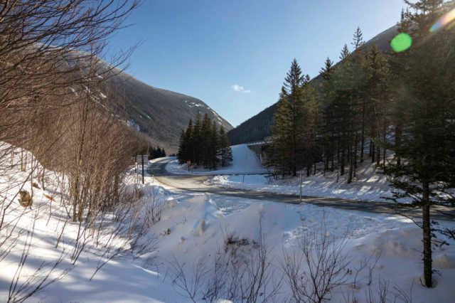
Starting at the Cannon Mountain Aerial Tramway parking lot use the highway underpass to walk beneath I-93. Once you cross under the highway veer left up the ramp and look for a sign on the right indicating the Greenleaf Trail/Greenleaf Hut. At this point you will be able to determine if anyone else has broken the trail recently and whether or not you want to wear snowshoes or stick to microspikes.
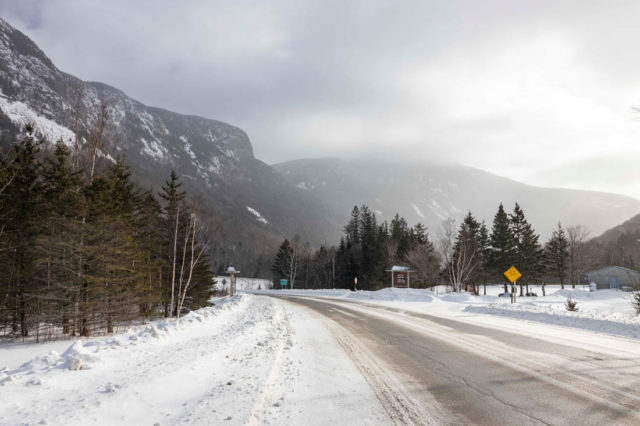
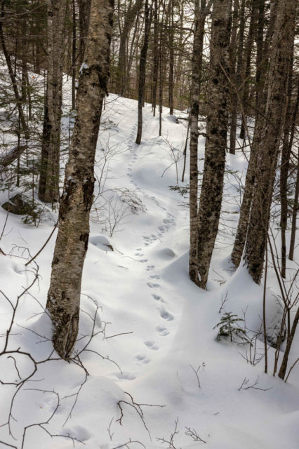
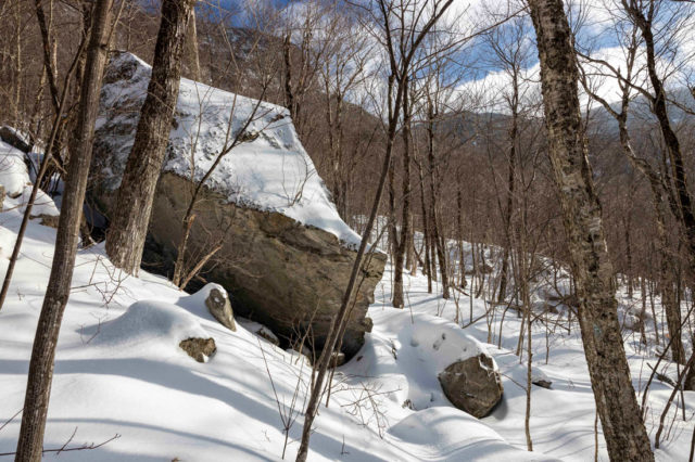
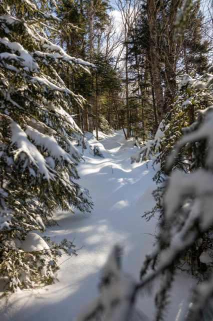
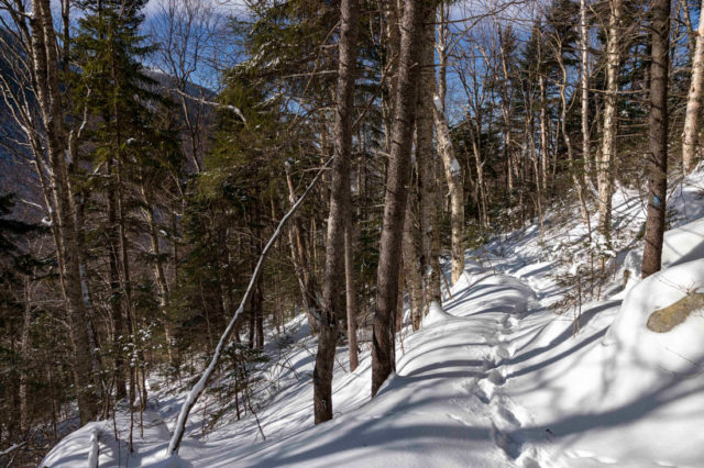
The Greenleaf Trail starts out with a relatively mild incline and runs parallel to the highway for almost half a mile. If you don’t have the benefit of following someone else tracks – this can also be the hardest section to navigate since the blue blazes are rather faint in spots and the trail can be hard to distinguish under several inches of snow. I had to double back once to look for blazes and also consult the AllTrails app to make sure I was going the right way.
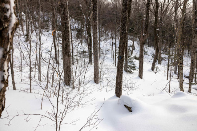
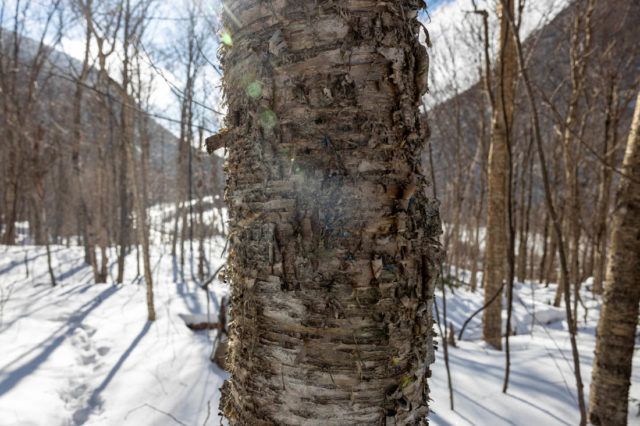
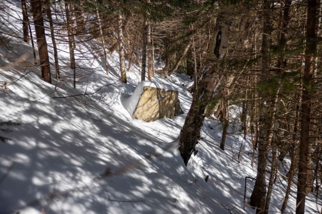
With the trees bare, ample sunlight filters through and there are lots of good views down into the notch. The sound from the highway is also quite loud until you turn upwards and start the climb towards Eagle Pass. Because of the extra effort of breaking through snow I also had to shed a few layers along this stretch to maintain a comfortable body heat and not drench myself with sweat.
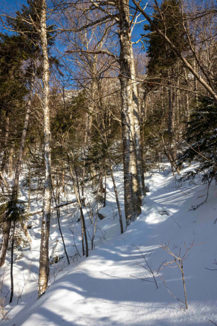
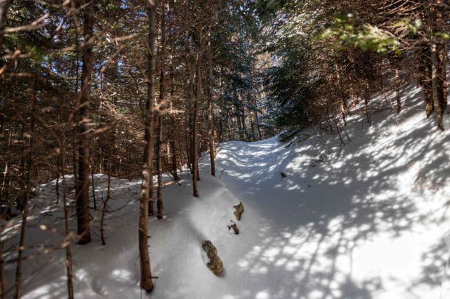
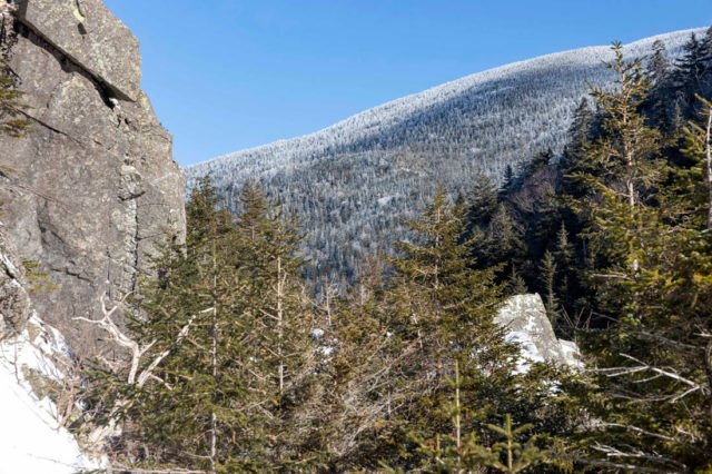
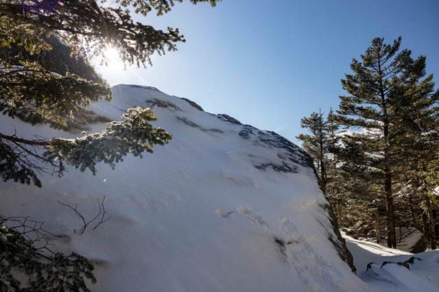
Somewhere after the 1/2-3/4 mark the trail turns left and starts to incline more steeply. Several switchbacks will help you ascend but there are some rocky sections and you might consider taking a few breaks to conserve energy. The second half of the hike to Eagle Pass is much easier to follow since it largely consists of a path cut through dense evergreens. After the top of some of the steeper sections you’ll also be rewarded with views back towards Cannon Mountain on the other side of the notch and get a preview of what awaits you at Eagle Pass.
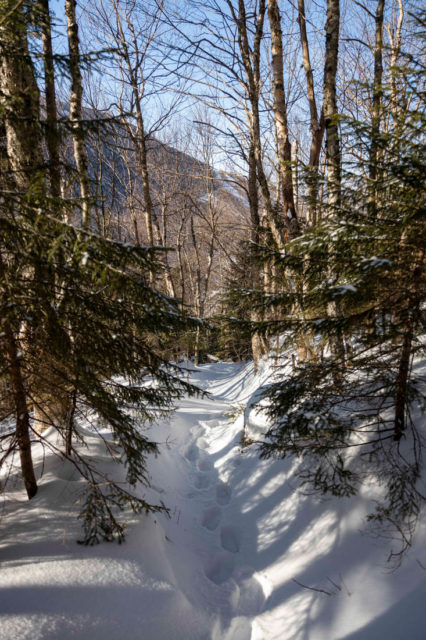
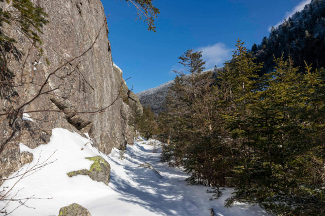
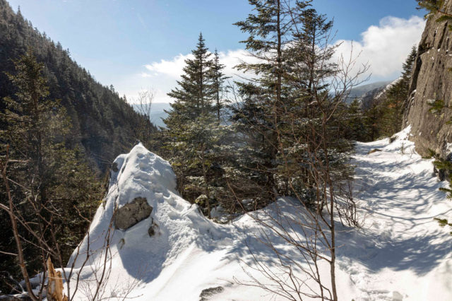
Next you’ll start to notice that you are approaching a ridge where it drops off sharply on the other side. Once you crest the ridge, Eagle Pass is not far away. Before you get there however, there is a short section of trail that pitches sharply to the right and can be tricky to maneuver. In summer, this wouldn’t be an issue but with the dense snowpack I had to slowly step across to ensure solid footing.
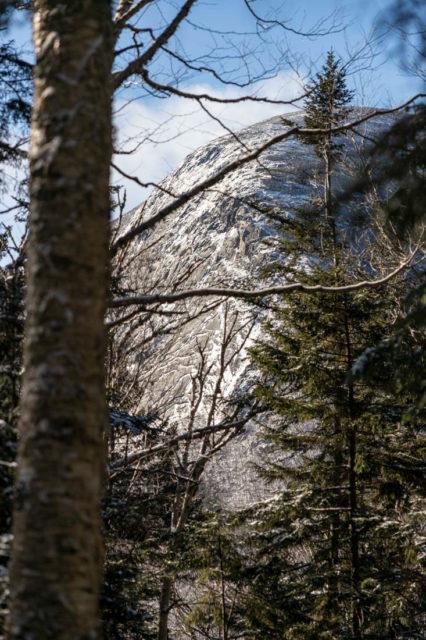
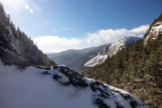
From there you’ll walk out into an opening with Eagle Cliff towering above you to the left and a slope dropping away to your right – revealing the first open views down into the notch. Here you can have a clear view of I-93 below you.
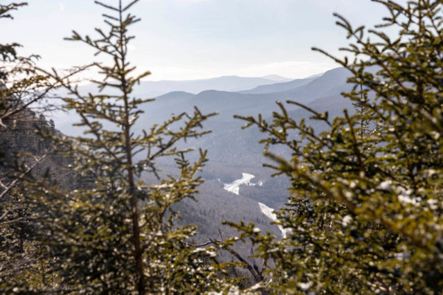
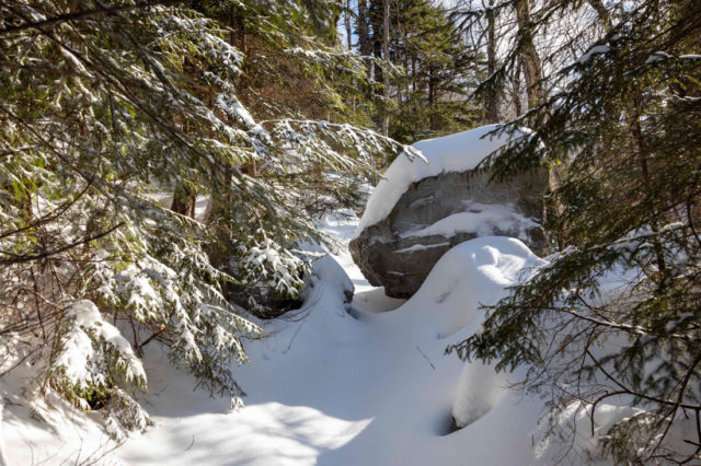
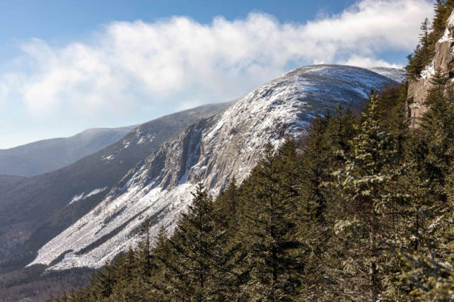
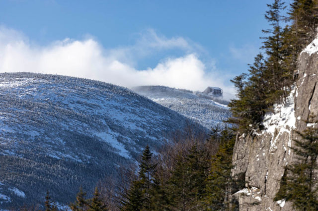
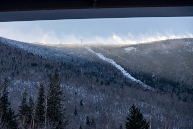
Keep going a little further and you’ll spot a rock outcrop where the best viewpoint is. This rock is a little steep and covered in snow/ice but with microspikes it wasn’t too difficult to climb up a few feet and take in the excellent view of Cannon Cliff. To the far right you can also make out the top of the Cannon Tramway and watch tram cars coming in and out (when they are running).
This is a cool spot to hang out and take pics (and perhaps water/snack) but because of the chill I didn’t linger long before descending. I wanted to have plenty of time to get back before the sun started to drop over the horizon. The trip down felt like a breeze in comparison to the climb. Going in this direction the snow cushions your step and helps soften the impact on your legs/knees. It also went by rather quickly and I made the return trip in about 40 minutes (as opposed to roughly 1 hour 20 minutes on the way up).
Not having done this hike before (in any season) I am definitely anticipating a return trip in summer. I would absolutely recommend doing this hike in winter but with the caveat that it should be done by people with some cardiovascular conditioning and winter hiking experience (familiarity with the trail would be helpful as well).
Additional Considerations:
Before you hike, know the hiker responsibility code and be prepared:
- With knowledge and gear
- To leave your plans
- To stay together
- To turn back
- For emergencies
- To share the hiker code with others.
- Visit the HikeSafe website to learn more!
The Greenleaf Trail begins in Franconia Notch State Park and then enters the White Mountain National Forest. It is also managed in cooperation with Appalachian Mountain Club and local volunteer groups. For more information, please visit the trail manager websites or contact:
White Mountain National Forest: Pemigewasset Ranger District
Appalachian Mountain Club
Related Blogs: