The changing fall landscape prompted our recent hike to Rhododendron State Park in Fitzwilliam, NH. This place is famous for it’s July blooms, but the trails are worth visiting in all seasons.
 We arrived in the later afternoon with a few hours of daylight left. I wanted to hike the portion of Rhododendron which branches off to include Little Monadnock, a feature on the Monadnock-Metacomet Trail System. This hike is one mile following stone walls and massive boulders.
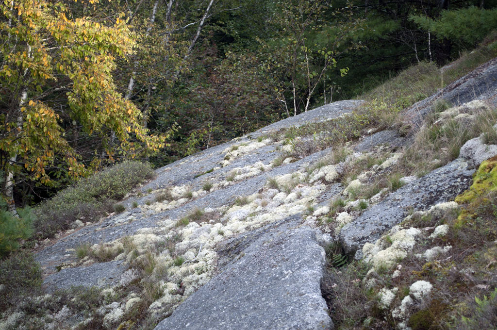 Toward the summit, we found massive examples of metamorphic and sedimentary rocks. Remnants of thousands of years of geologic transformation.
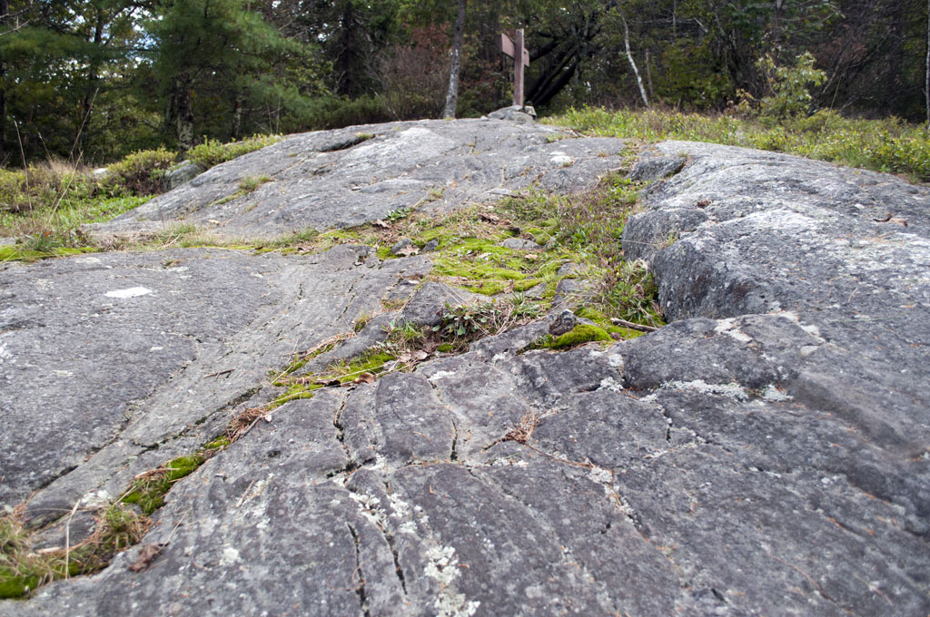 Along the path, which was fairly strenuous, we had opportunity to appreciate early fall inhabitants. Wooly caterpillars share the woods with moose here, as we found evidence of both. (I’ll only share with you the caterpillar ‘evidence’).
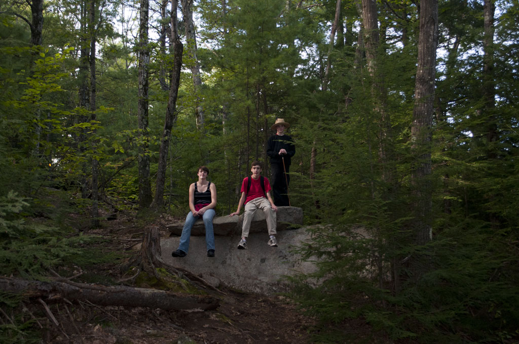
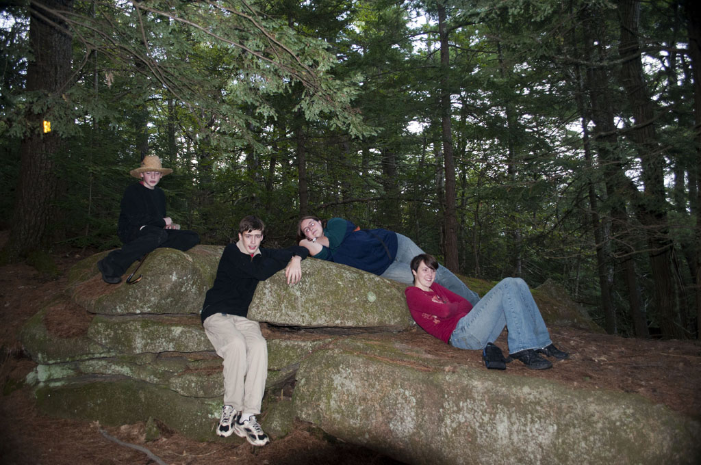
 When I hike with my kids, ‘strenuous’ becomes a relative term. Sometimes a family hike turns into a game of wait and catch up….
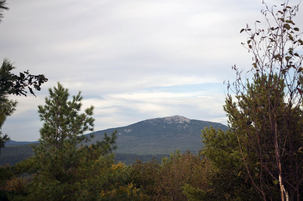
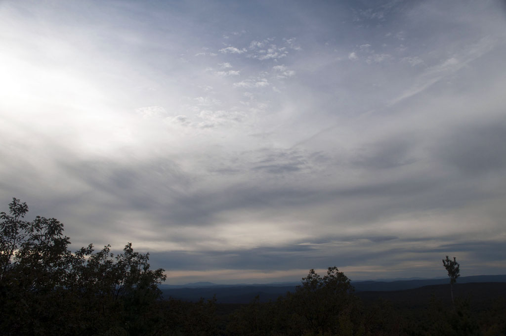
 Once at the top, you’ll find the best views to the right, facing Mount Monadnock.
 Once we tracked back, the light was fading and the tunnels of the Rhododendron trail became an ethereal hiding place.
 This was a fun trip and we met quite a few families of all ages along the way. The trail is well marked, and it was easy to keep a comfortable pace. For a mile-long adventure, we quickly felt the cares of the week slip away into the forest and clouds.
 I found a link to more detailed information about the hike on Hike New England. It includes information about the Old Patch Place, a 200 year-old, beautifully restored cabin at the trailhead. Enjoy!

Lisa, I’d be interested if any geologists would comment on the deep scratches I’ve observed in the bedrock surrounding the summit sign on Little Monadnock. They are almost perpendicular to the grain of the metamorphic rocks, running roughly North-South. Could these scratches be the result of glaciers advancing & receding across the summit? Another interesting observation: the summit USGS benchmark does not appear on USGS topo maps, nor in their on-line geodetic survey records, and is not stamped with any elevation or year…?!?
From a Geologist/Teacher friend of mine!
“First – I do believe that all usgs benchmarks are on usgs topo maps. if the benchmark does not have elevation nor year, it might not be a usgs one, but perhaps one installed by state level surveyors?? not really sure on that one.
As far as the scratches go, it is very likely that they are indeed glacial striations, carved into the rock as the last round of glaciers scoured our landscape. They typically are roughly aligned north-south. The fact that the grooves cut perpendicular to the natural foliations in the metamorphic rock, would further indicate that they are cut into the rock by force. That force could certainly be from flowing water carving a path, but in that case they wouldnt align north-south. The striations could also be from preferential weathering of the less-resistant layers in the schist, but in that case the grooves would run parallel to the rocks foliations. So, most likely, you are seeing glacial striations! The other thing to look for, next time you go, are “chatter marks”. They are crescent moon shaped gouges in the rock that happen as the glacier “chatters” across the rock, taking chunks of rock with it. Happy hunting!” Andria Johnson
first – I do believe that all usgs benchmarks are on usgs topo maps. if the benchmark does not have elevation nor year, it might not be a usgs one, but perhaps one installed by state level surveyors?? not really sure on that one.
As far as the scratches go, it is very likely that they are indeed glacial striations, carved into the rock as the last round of glaciers scoured our landscape. They typically are roughly aligned north-south. The fact that the grooves cut perpendicular to the natural foliations in the metamorphic rock, would further indicate that they are cut into the rock by a rather strong force. That force could certainly be from flowing water carving a path, but in that case they wouldnt align north-south. The grooves could also be from preferential weathering of the less-resistant layers in the schist, but in that case the grooves would run parallel to the rocks foliations. So, most likely, you are seeing glacial striations! The other thing to look for, next time you go, are “chatter marks”. They are crescent-moon shaped gouges in the rock that happen as the glacier “chatters” across the rock, taking chunks of rock with it.
Happy hunting!
~Andria