New Hampshire has 19 Recreational Rail Trails which offer miles of scenic recreation for a variety of trail users year-round. While each of these trails consist of long, straight, gravel pathways, each has a unique setting and vary in length and scenery. These trails are spectacular recreational resources for residents and visitors alike and yet seem to be under-utilized. Many of our local OHRV and snowmobile clubs use these trails regularly and help maintain them along with our Trails Bureau but the trails are also open to bikers, hikers, nordic skiers, mushers and equestrians alike. (check individual trail pages for usage details)

Below is an overview of the Hillsborough Recreational Trail to provide a glimpse of what our recreational rail trails have to offer. While it can be utilized in any season it is a particularly beautiful place for a fall bike ride. At approximately 8 miles in length it is also the perfect spot for a half day adventure through scenic NH landscapes.
Hillsborough Recreational Trail Bike Trip Details:
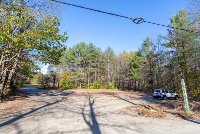
Parking: Park at Fish and Game Road in Deering. There is a large parking lot at the corner of Long Woods Road and Fish and Game Road in Deering (not far from downtown Hillsboro). Look for the sign for the ‘Deering Fish and Game Club.’
Distance: 7.2 miles (14.5 miles out and back). Note: the trails extends past the Fish and Game Road parking area northward if you want to go further but I chose to head south on the trail from the parking area and explore the northern tip on the way back.
Towns: The trail starts near main street in downtown Hillsboro and passes through Deering and into Bennington. The Trail ends at Antrim Road in Bennington, near the Monadnock Paper Mill.
Time: 45 minutes to 1.25 hours (one-way). The entire length of the trail can be done in less than 45 minutes if you pedal hard and don’t make any stops, however, if you are taking your time and stopping to take photos and enjoy the scenery it will take closer to an hour and 15 minutes or even an hour and a half each way.
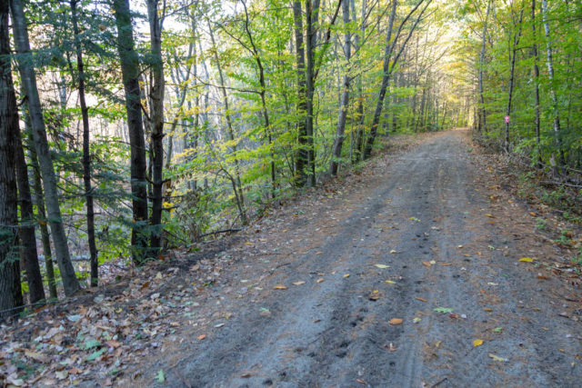
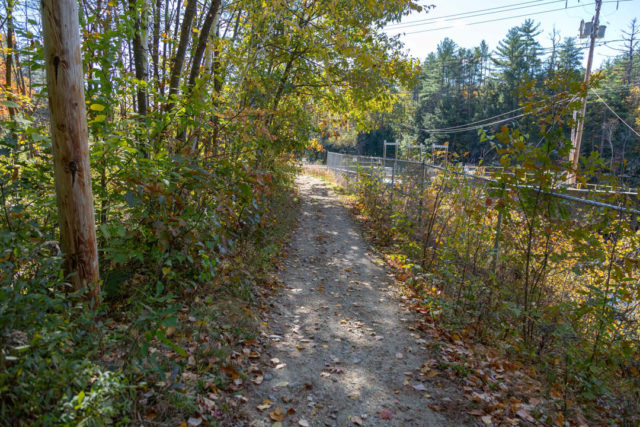
Difficulty: Moderate. While the trail is relatively flat, wide and straight – the surface is loose, sandy gravel in some sections which can make riding more of a challenge.
Surface: Mostly packed gravel, double track. The trail surface varies from easy-going packed gravel to sections that are more loose and sandy where it can slow you down and make it more of a challenge.
Uses: biking, hiking, Nordic skiing, equestrian, mushing, OHRVing, snowmobiling and snowshoeing.
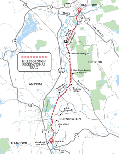
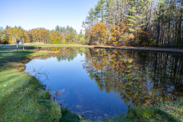
From the parking area on Fish and Game Road in Deering you can hop right on the trail and head either north or south. The trail only extends another mile or so to the North and I decided to just start out by heading south (opting to explore the northern tip on way back). Next to the parking area in Deering there is a little trout fishing pond that had a great reflection of the fall foliage.
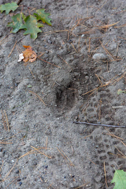
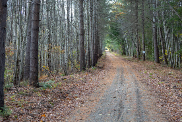
The trail starts out flat and heads right into dense forest which largely consisits of oak, beech and pine trees. Not far into the trail I noticed fresh deer tracks pressed into the gravel surface. Although I didn’t see any deer during my trip there were several spots along the way where deer had recently come through and left tracks.
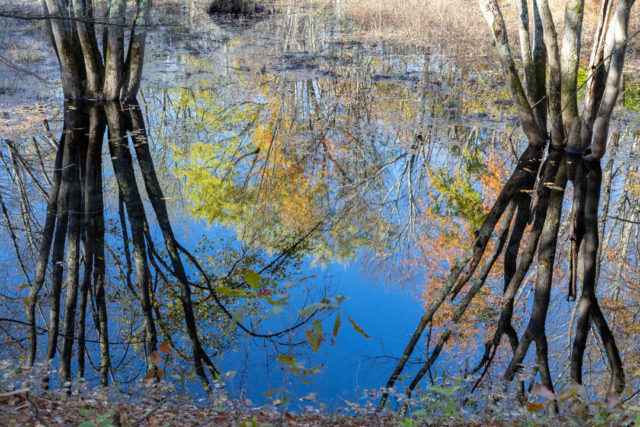
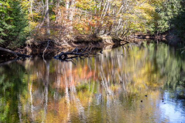
Soon the trail comes up along side a waterway providing scenic reflections of the remaining foliage. It also closely parallels Long Woods Road for a few hundred yards and then crosses over at Holton Crossing Road where it reenters the woods.
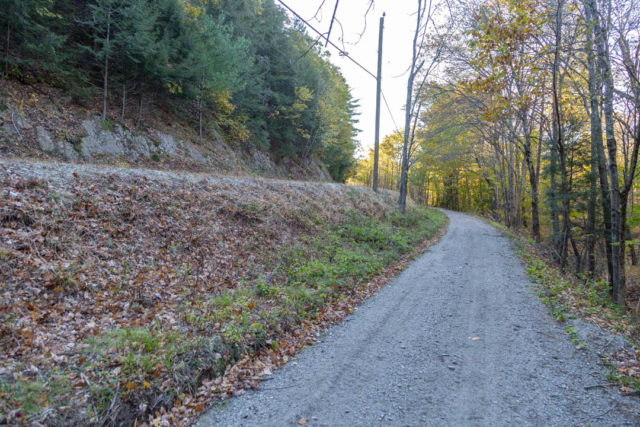
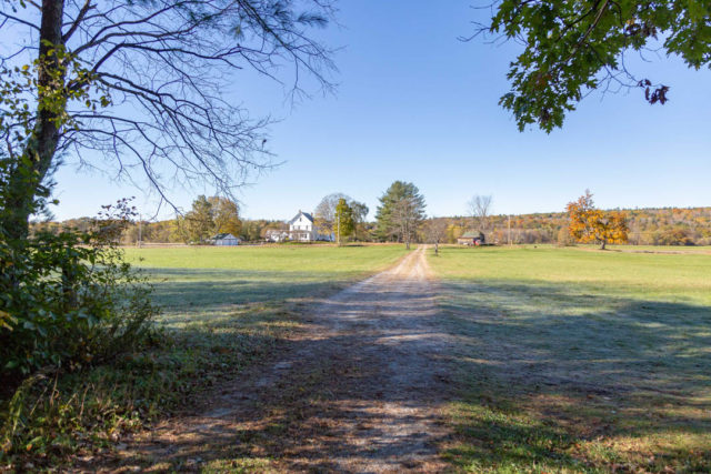
In this section there were some beautiful old farm houses, cow pastures and stone walls. This was probably my favorite part of the trail as it made me appreciate NH’s agricultural heritage. There were several good spots to stop and take pics.
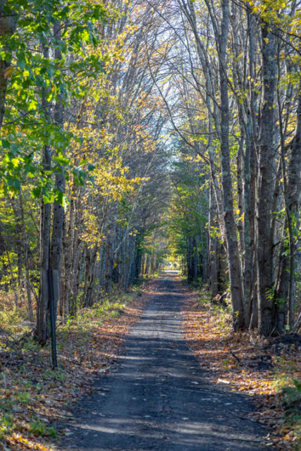
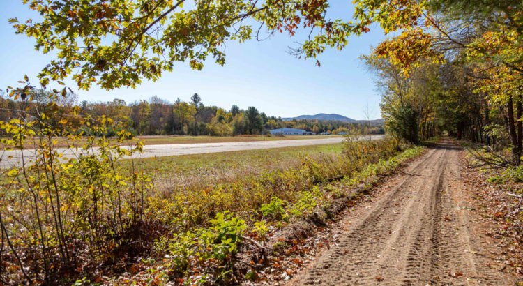
After the intersection with 2nd NH Turnpike Road the trail once again enters the forest, although this time not as dense, and mostly consisting of hard wood trees, letting in ample light to highlight the foliage. The trail then opens abruptly to a view of the Hawthorne-Feather Airpark and distant mountains. Here the open views and sunlight made for scenic riding, however the surface of the trail was more sandy and made pedal pushing more difficult.
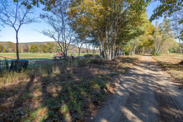
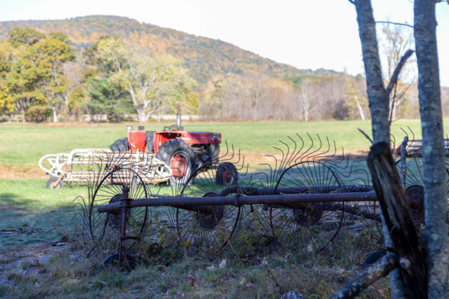
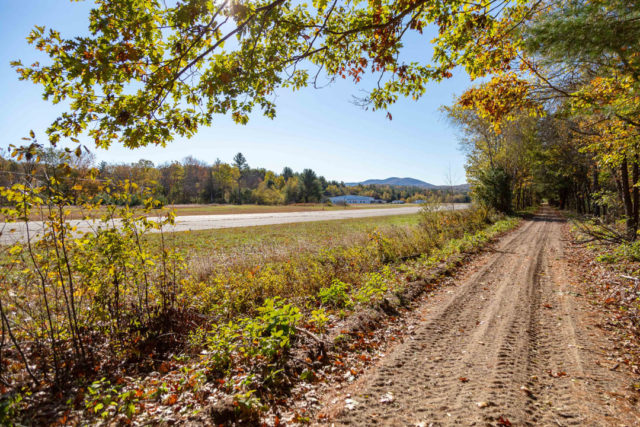

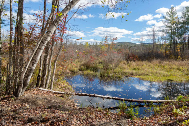
After the airfield there was a rail-road trestle water crossing that offered more open views into a marsh, farm land and surrounding forest. The calm water provided reflection of the fall foliage and a good place to break for water.
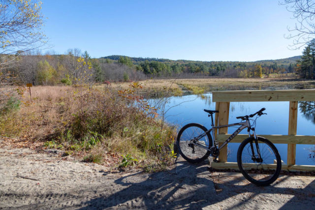
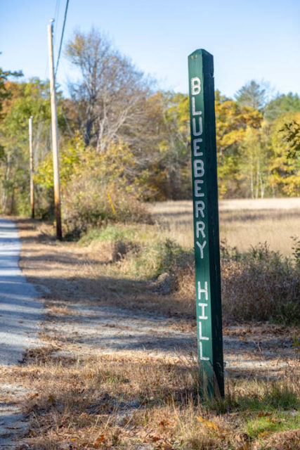
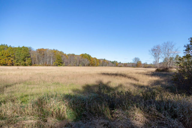
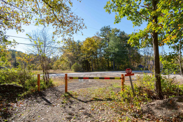
Shortly after that – the trail came to an intersection with Bennington Depot Road and Blueberry Hill Road. There was a cool wooden sign post with vertically carved lettering that identified the road. At this intersection there was also a large grassy field which provided another scenic landscape.
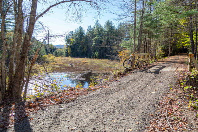
From Blueberry Hill the trail enters dense forest again and quickly comes up to another water/bridge crossing with a nice view down into a marsh with a mountain backdrop. Again, this was a good place to pause for water and appreciate the surroundings.
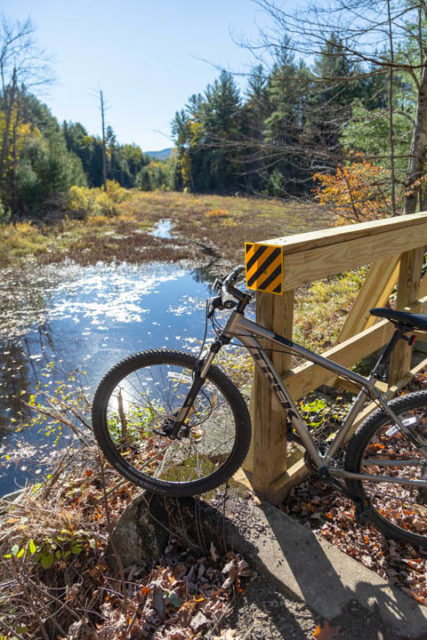
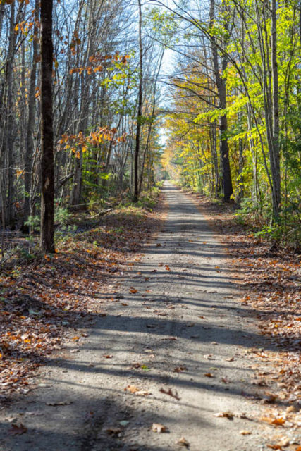
The trail continues through the woods until it comes to another junction at North Bennington Road. After crossing North Bennington Road the trail is lined with a lot of beech, maple and birch trees and allowed a considerable amount of light through. This was also one of my favorite parts of the trail as it provided a long scenic straightaway that was framed by deciduous trees, clumps of grass and low-lying wetlands. All these elements created a unique feeling that particularly stood out as scenic and a fun section to ride.
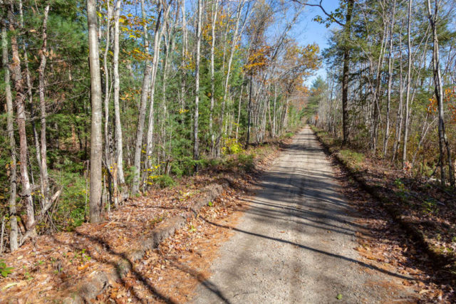
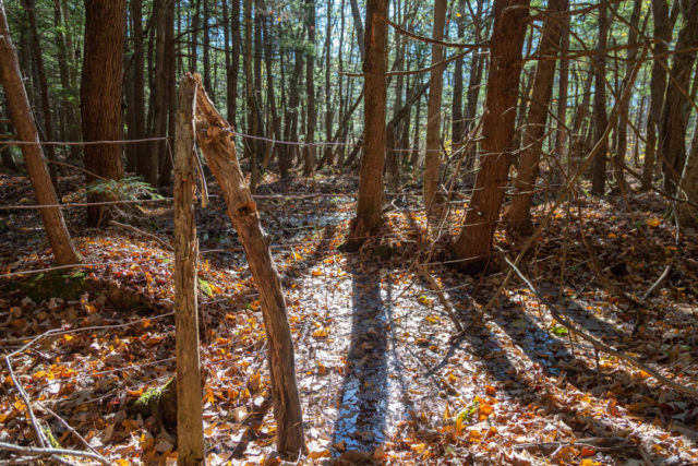
Immediately after that straightaway section – the trail enters a shady hemlock grove. As I transitioned from bright woods to dark forest atmosphere I stopped to notice some old rusty farm fences and vernal pools on either side of the trail.
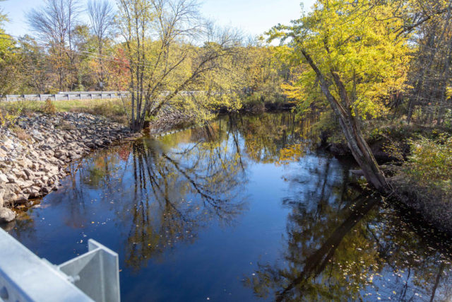
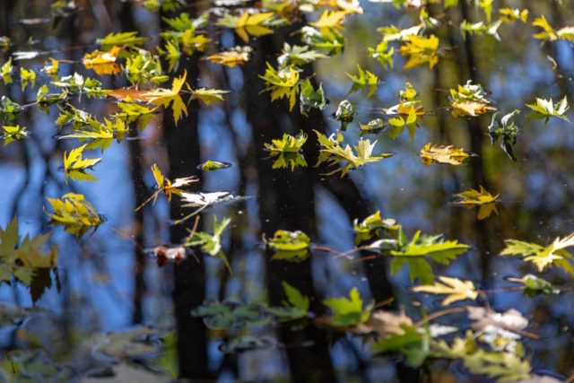
The trail intersects again with North Bennington Road and you’ll notice a large cornfield on your right. From the road a bridge caught my eye so I pedaled down to investigate. From the bridge you get a scenic view of the Contoocook River flowing below as well as the bright yellow leaves slowly falling off the trees into the water. In a little side stream the fallen leaves floated perfectly on top of glassy water creating a colorful mural of fall finery.
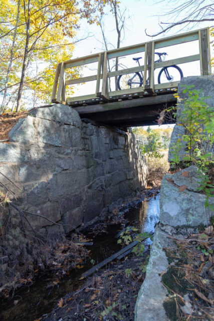
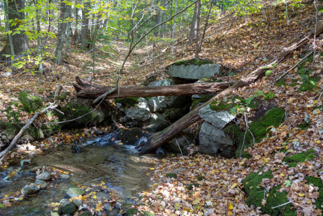
Just after that – the trail crosses another small bridge with views of the marsh and stream below. The bridge looked as if it had just been refinished – perhaps by the NE Mud Hawgs in conjunction with our NH Trails Bureau. At this bridge I stopped to appreciate the rock work that made up the abutments and pondered just how old these walls were.
This was immediately followed by a junction with Bible Hill Road in Bennington. To the right of the trail after it crosses Bible Hill Road you’ll notice a municipal construction/logging yard with some buildings in a clearing. The trail quickly comes to another junction – this time crossing a dirt road near the end of Balch Farm Road.
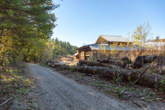
From here the trail passes through mostly pine and beech trees for a short distance until it crosses another dirt road leading to the Bennington Water Department. Through this section I also noticed several places where deer tracks were freshly pressed into the dirt.
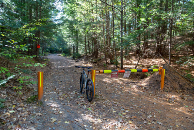
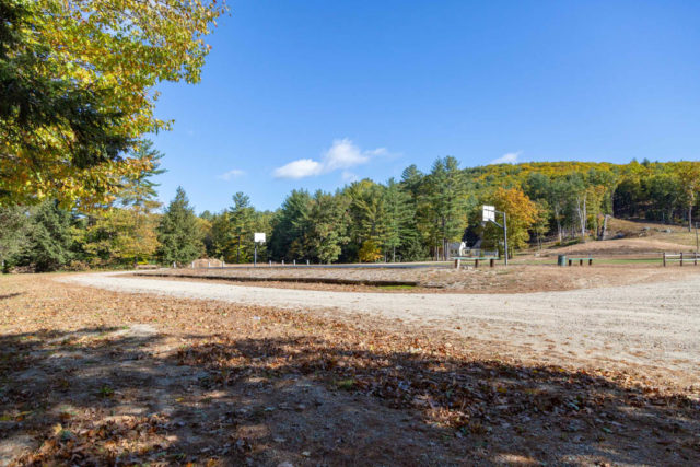
At this point I checked the map and realized I was not far from the end of the trail. After passing through another stand of thick, shady hemlocks I noticed a bunch of athletic fields on the left so I pulled in to take a look. Even though foliage season has passed – there was still a good deal of orange, yellow and green leaves hanging on which amplified the crisp autumn atmosphere. As I continued on – I recognized how heavily this ride consisted of beech trees which provided the bright flashes of yellow all through the day.
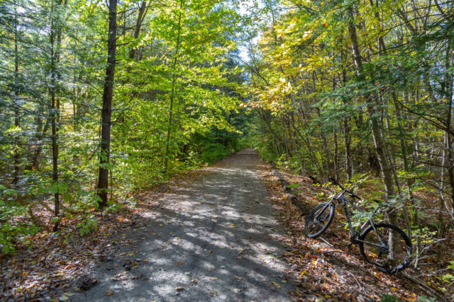
Next, I came to a part of the trail where it dropped off sharply on either side and a stream passed underneath. The stream appeared to be slowly meandering into a larger body of water – which turned out to be the Contoocook River. This attracted my attention because I could see the brilliant colors glimmering off the surface of the river between the trees. I decided to climb down for a closer look. This was worth the effort as I got to check out more old stone work at the mouth of the tunnel beneath the trail and the Contoocook River here was all lit up with bright colors and made for quite a picturesque autumn scene.
Towards the end of the trail you will abruptly hit a section where the rail road is still in place. While there is room on the left side of the rail to continue riding it is much more narrow and then becomes bumpy and rocky.
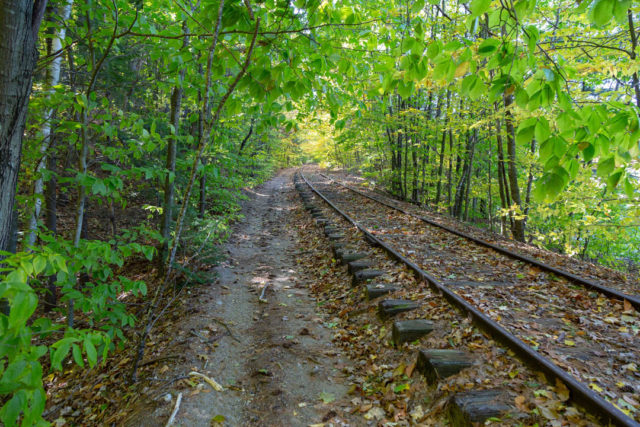
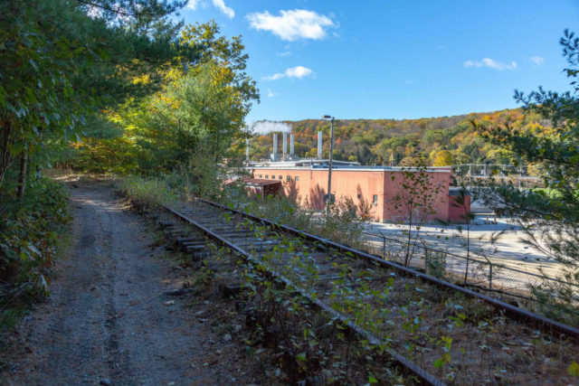
Around the bend – the smoke stack from the Monadnock Paper Mill will come into view and after that the trail splits from the rail bed and veers off to the left where it connects with Antrim Road near Alberto’s Italian Restaurant. Here is where the trail ends and you can stop to check out the falls at the Contoocook River Reservoir along with the old railroad trestle that passes over it.
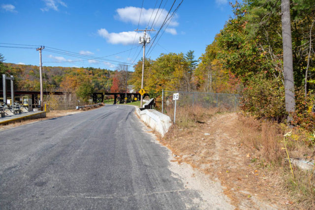
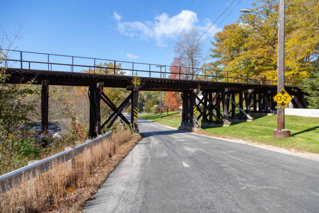
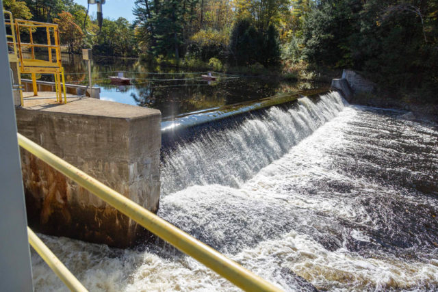
I headed back northward on the trail after taking a quick break and decided not to stop until I got back to the main parking area so I would have time to check out the sections above Fish and Game Road. The northern end also turned out to be a nice, scenic cruise with lots of light coming through and water views as well. I went all the way to the intersection of Long Woods Road where it meets River Road/West Mill Street. It seemed to peter out from there but apparently it does continue almost all the way back to Deering Center Road.
All in all this is an amazing bike ride for all ability levels that could be done in a morning or afternoon. It provides plenty of scenery and enough distance for a good workout as well. One thing to remember is that there were not any easily-accessible restrooms or convenient stores to stop at along the way. I highly recommend this trail to anyone who loves to ride through NH’s scenic forests. While this route is shared with OHRVers (and snowmobilers in winter) I didn’t see a single motorist on the entire route and it was quite calm and peaceful.
If you are interested in learning more about our 19 Recreational Rail Trails visit our website here. Leave comments and questions below and I’ll try to answer them as best as I can.

Thanks for writing about this trail Grant. I’ll have to give it a ride sometime. I’ve found that trails open to ATVs get pretty chewed up and aren’t much fun for bicyclists. Are you saying this one is in better shape?
Tried biking the Sugar River Trail once – it was miserable due to ATV traffic turning the surface into a sand trap. On the other hand, the Northern Rail Trail, which allows snowmobiles but not ATVs, was a terrific ride. It’s hard to tell from your website which trails will be better than others so I’ll have to try them all.
Thanks for keeping up the blog.
That trail is so picturesque. Would love to plan a camping and fishing trip with the kids there next year. Thanks for sharing