Blog written by: Sam Nunlist, Southern Rover Interpreter
There is an old village (East Weare Village) along the eastern side of the Piscatquog River and along Old Route 77 that is used as a recreation area now. I suppose you could call this a lost village, since all of the houses are no longer standing. You can find foundations in that area, but they only go under water during substantial floods. It has an interesting backstory relating to the dams built by the Army Corps of Engineers not much further downstream.


Now for a bit of history on the matter:
1927 – Most of New England’s rivers, including the Merrimack and all of its tributaries flood out of control. A few people lose their lives and many homes and businesses are destroyed.
1936 – The worst flood in 300 years strikes the New England, ending 24 lives as well as causing 700,000 people to be homeless. There was also water damage in the tens of millions of dollars (hundreds of millions if it happened today)
1938 -The basin again suffered crippling flood losses when the most powerful hurricane ever to hit the region slammed into the northeast. Plans for New Hampshire are set in place to set up a two-dam system to help prevent anything like the last flood from happening again.
1959 – Due to some roadblocks, especially the location of East Weare right up stream, the construction of the dams were held off until this year.
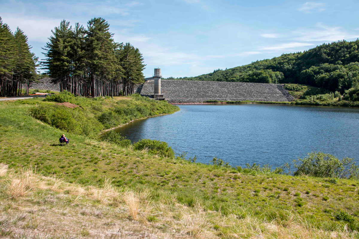
1962 – Everett dam was completed
1963 – The second dam, Hopkinton, was completed
Since its construction, the reservoirs for flood water have only needed to be utilized 7 times, but there is still an estimated $200 million saved from flooding of the Contoocook River and possibly saved lives as well.
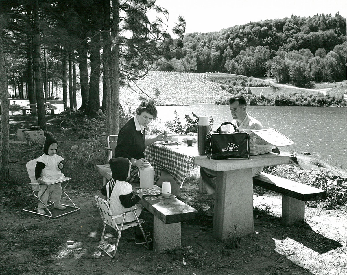
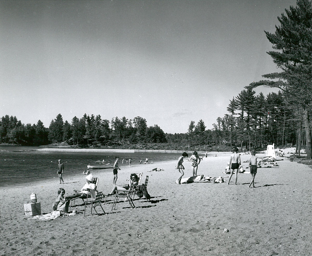
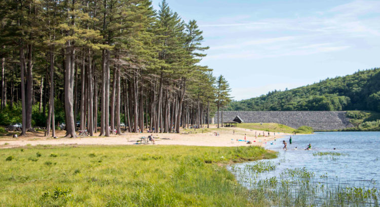
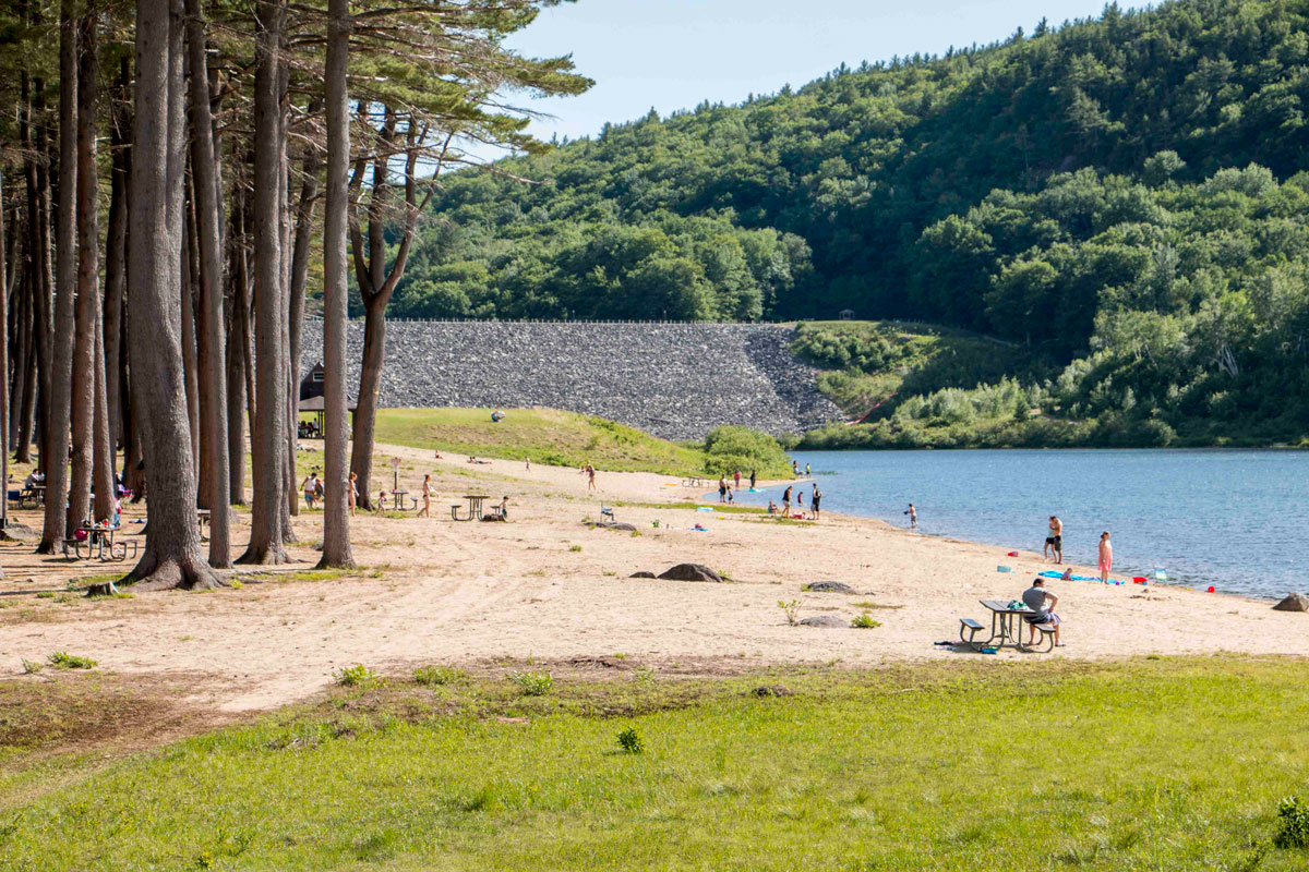
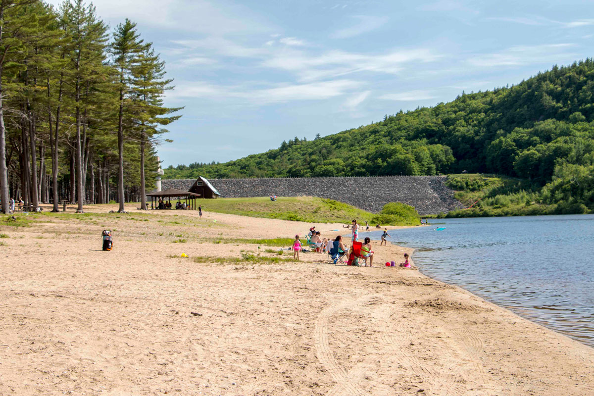
During this timeline, a part of Weare, NH known as the village of East Weare was bought out and the people relocated all throughout the New Hampshire and Massachusetts area. Clough State Park is upstream of the dam. From Clough you have an amazing view of Everett Dam as well as a beach that is accessible through the day use park, where fishing, canoeing, kayaking, and family outings are all commonplace.
Come down to Clough on Saturdays and take part in some interactive and educational programs such as ponding (the catching of small critters that live in the waters of Everett Lake,) history of furbearers (where I will have animal pelts and will tell you New Hampshire’s trapping history,) or even my Everett Dam tabling where I recap the information here as well as give a demonstration on how the dam works! See you then!
For more information about the Hopkinton-Everett Reservoir visit The US Army Corps of Engineers website.

I wouldn’t call East Weare a city by a long shot. While the flooding of ’36 was bad, the ’38 hurricane was worse. The combination of the two sparked the flood control dam building era. I worked in Weare in the 1970s. I knew a woman whose family helped dismantle an removed the town.
Thanks for the information! If you have any more tidbits that I could add to my history I would love to incorporate it into my program.
Hello:
I live about 2 miles from Clough. If you have any pics. or info I would love to hear it. I know of a person that
drowned during the flood that has the same last name.
UNH has posted some old topo maps online. Here is one from 1927 that shows the Village of East Weare. http://docs.unh.edu/NH/cncd27sw.jpg You can still follow the path of the old Bassett Mill Road all the way from Clough on up to Contoocook (several sections are used as snowmobile trails). Lot’s of great history back there!
Dependent on visibility, it might make an interesting dive site if the State allowed.