Written by Interpretive Ranger Darren Lu:
In 2006, Clough State Park experienced two consecutive seasons of heavy rains – enough so that by the summer of
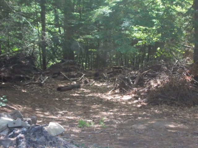
2006, the entire park was underwater. Continued rain and snowfall the following year forced the park to close until 2008, and remnants of the deluge can still be seen today. Some of the more visible casualties of the flood, including Clough’s two bathhouses, have never been rebuilt. Others, like the tollbooth and parking lot, are in pretty good shape these days. One of the more overlooked elements of this story, however, are the trails around the park. Virtually all of Clough’s trails suffered from the flooding, and the survivors aren’t in tremendous shape these days. A few are still walkable, though, and if you’re willing to contend with a few years of undergrowth and the occasional patch of mud, you can pretty easily navigate through the dark underbelly of Clough’s past.
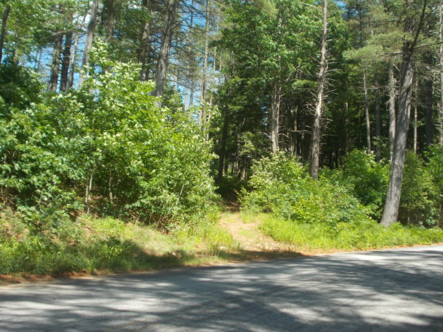
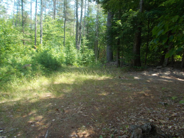
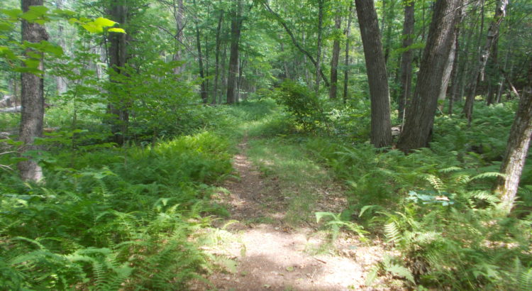
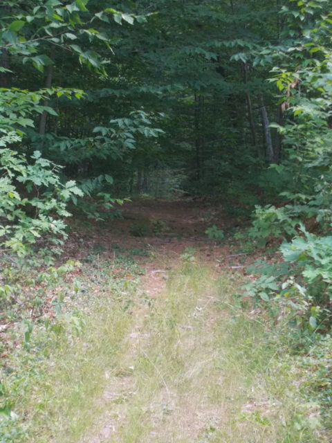
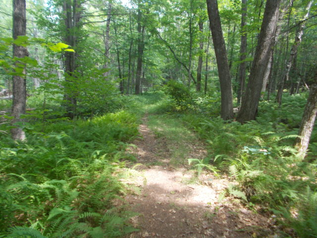
One of Clough’s most straightforward remaining trails is still fairly well-maintained, just hard to spot at first. From the parking lot, you begin by following the main road towards the tollbooth. Keep an eye on the left side of the road, and you’ll notice the trailhead off to the side of the road. Follow the path up the hill, keeping left at the fork, and you’ll see a seemingly innocuous patch of grass to the left that actually marks the start of the trail (if you stay on the established path, you’ll end up going on a short loop that gives you a nice view of the park entrance). Once you cross over the grass, the trail reestablishes itself, and it’s a straight shot to the end of the park.
(Article continues below)
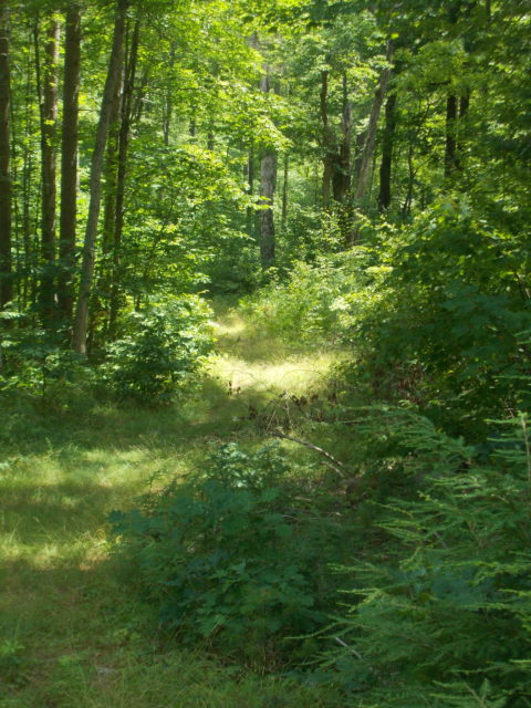
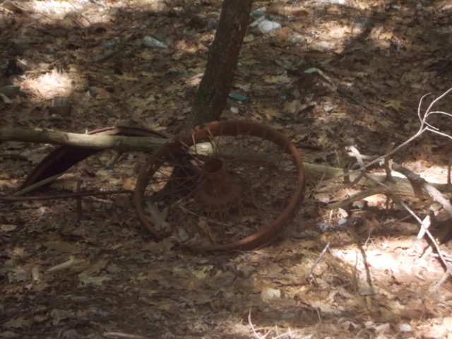
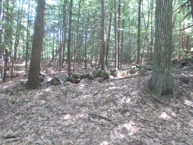
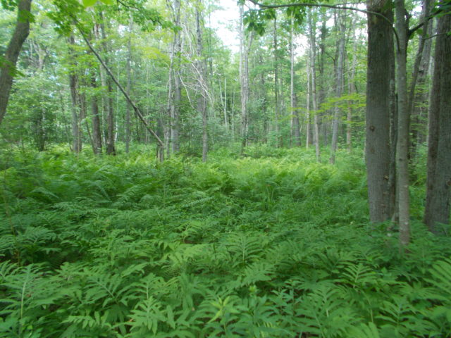
Walking along this trail, it’s easy to forget that you’ve left a crowded beach just behind you. The undergrowth gets dense at times, and for a while the trees can block out the sunlight, leaving you with the impression that you’ve forsaken civilization completely. Occasional patches of forest debris provide a glimpse into the tumultuous events of Clough’s recent past; other signs stretch back even further into New Hampshire’s history. Along with the more mundane trash left behind by recent adventurers, relics like stone walls and rusted automobile parts mark the generations past who have lived along this trail.
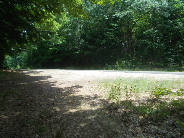
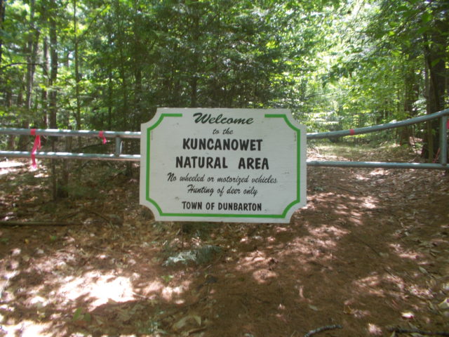
While weeds and other underbrush have reclaimed stretches of the trail, you can still follow the path to its end, the border of the park. Once you’ve made it, you can either double back and retrace your steps or cross the street to the Kuncanowet Natural Area, managed by the town of Dunbarton. In its entirety, the trail takes about half an hour there and back – the entire length is well under a mile long and still accessible despite years of neglect. Next time you find yourself looking to escape the sun and the crowds along Everett Lake, or if you’re just in a mood to explore, try this trail or some of the others around the park.
Save
Why can’t we pull together a group of volunteers from Land Stewardship or one the other groups in the state and restore these trails. Volunteers do a great job on Mount Monadnock.