11.16.12
“November has tied me to an old dead tree. Get word to April to rescue me.”- Tom Waits
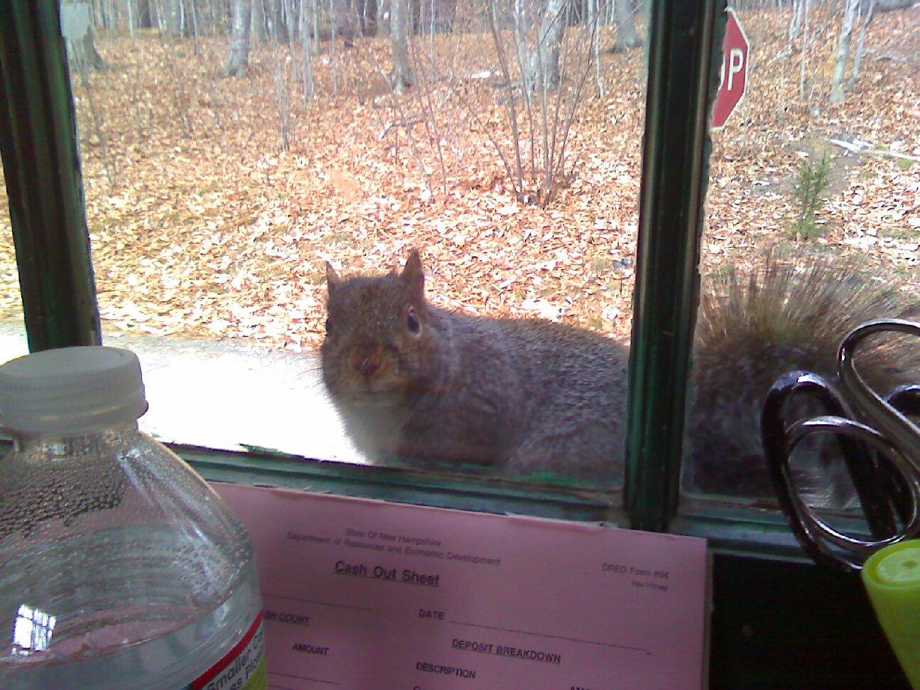
Last week, I was able to happily report of the first snowfall of the season on Grand Monadnock. Especially with the little amount that fell, not surprisingly, it is now all gone. And once again, Monadnock’s trails feature “a pile of dead leaves and a moon that’s the color of bone.”
The trails are dry, despite Tuesday’s rain, and pretty much free of ice or snow (for now).
But, hikers still need to be prepared with warm layers, food, water, and headlamps. Sunset this weekend will be at the early time of 4:25pm, so plan your hike accordingly!
There is no precipitation forecasted in the Monadnock Region this weekend. Daytime highs at the base of the mountain will be in the low 40’s. Overnight temperatures will dip into the upper 20’s.
Similar conditions will likely extend well past the upcoming weekend.

Monadnock Mystery Photo
In line with NH State Parks Friday quiz on Facebook, let’s do a Friday quiz of our own. This photograph of a new(er) trail blaze behind an old disc trail blaze was sent to me this past week by the trail’s adopter.
Can you name what trail this can be found on?
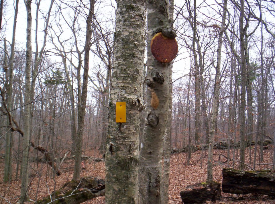
(hint: remember, there are actually five different trails blazed with yellow reflective rectangles on Mt. Monadnock. Can you name them all as a bonus question?)
Mind The Gap
Enough about Grand Monadnock; have you ever climbed Gap Monadnock?
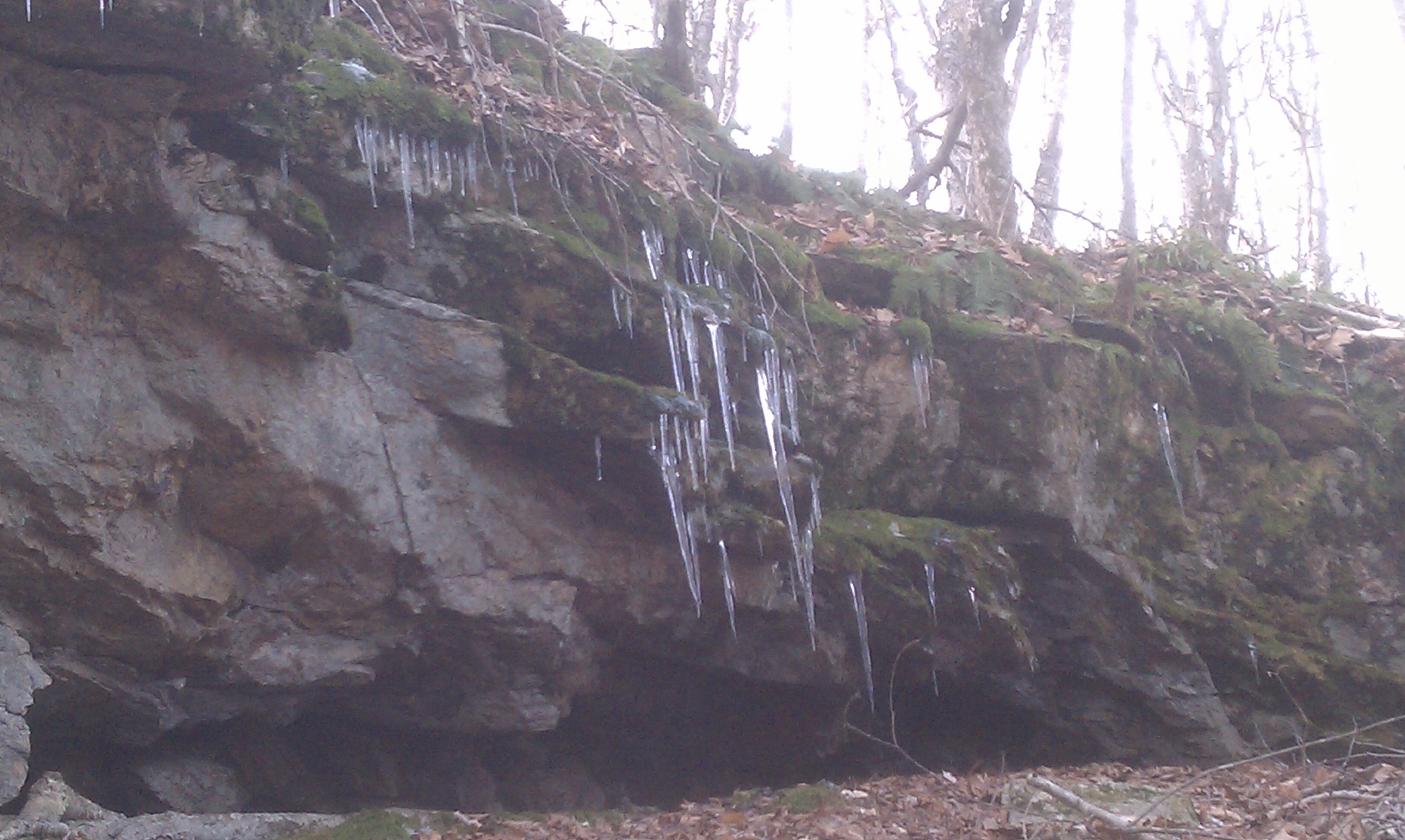
Gap Mountain, as it is now called, located in the towns of Jaffrey and Troy, New Hampshire, is a three peaked mountain covering over 1,100 acres. The land is owned by our good friends at the Society For The Protection Of New Hampshire Forests. But, like their land holdings on Mt. Monadnock, it is leased to the State of NH for management purposes. Gap Mountain is essentially an extension of Monadnock State Park.
The 1.3 mile trail leading up the north side of Gap Mountain can be located at the end of Bullard Road, off of Route 124 in Jaffrey. The south side trail, also around 1.3 miles, can be found off of Gap Mountain Road (the one with the red road sign!) in Troy, NH, off of Route 12. The hike usually takes about 2-2.5 hours round trip on average.
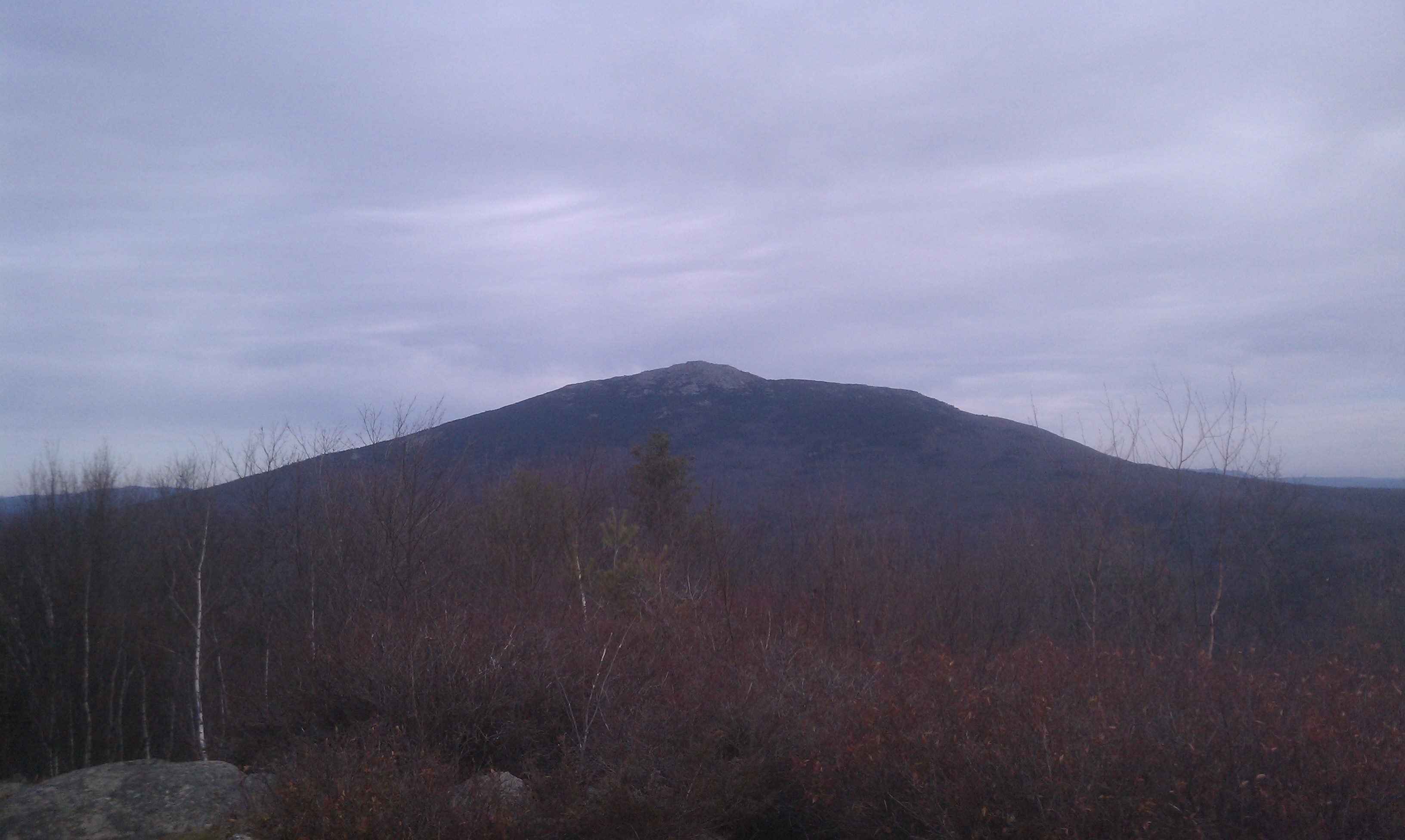
Renowned by locals for its extensive summer blueberry picking opportunities, Gap Mountain also affords some of the most rewarding views in the Region, including a commanding view of Grand Monadnock lurking three and a half miles to the north.
The best views can be had from its middle peak, about 1,850 feet above sea level. Comparatively, that is not too far above Falcon Spring on the lower sections of Mt. Monadnock’s White Dot Trail. But, the expansive 360 degree unobstructed view reaching into three states (NH, MA, and VT) from Gap’s summit is on par with those from much higher mountains. The southern peak is the highest one on Gap Mountain, but its 1,880 foot summit is completely forested and is not accessible from a maintained trail.

Interesting notes on Gap Mountain’s history:
1. The south peak of Gap was owned by Jane Noble Fiske. In the late 1930’s, John Noble had offered to his daughter, Jane, the choice of having a large celebration party or acquiring the south summit of Gap Mountain as a graduation present. Jane chose the south peak and so John Noble purchased 109 acres that stretched from their family’s Horizon Hill Farm to the south peak. Jane Noble Fiske eventually donated the south summit of Gap to the Forest Society.
2. The mountain was once being considered as a private ski operation. In the late 1960’s, a land investment company, Land Vest, bought 13 tracts of land along Gap’s middle and North peaks for resale to investors or developers. A prosperous Boston investor soon bought up the tracts and re-sold the land to two men who intended to build a ski resort and resort homes. The chief investor died before the resort could be built and his heirs put all 636 acres up for sale. That acreage is now owned by the Forest Society as well.
3. As recently as the 1950’s, much of Gap Mountain was open pastureland as the mountain has a heavy history of logging. Stonewalls were built to divide cow pastures through the years. One of the stonewall builders was William Royce, who helped blazed the White Dot Trail on Mt. Monadnock in 1903.
4. In 1909, the first electrical power for Troy and Jaffrey came from a generator run by a water wheel at the outlet of Perkins Pond on the northwest side of Gap Mountain.
5. Potter’s Pond on the south side of Gap has been noted for taking the lives of people, oxen, and horses, which reportedly disappeared into the “bottomless bog”.
If you’re looking for a great hike for children, a less extensive or rigorous hike but with rewarding views, or need an alternative hiking choice with a pet (not allowed on Mt. Monadnock as we all know), look into giving Gap Mountain a try. My dogs love it! And if Iggy Pup, my 11 year old miniature dachshund, can complete the hike, I know you can too.
Just keep the dogs away from Potter’s Pond!
Answers:
Mystery Photograph taken on the Parker Trail.
The five trails with yellow refelctive rectangles:
1. Parker Trail
2. Cart Path
3. Mossy Brook Trail
4. Great Pasture Trail
5. Hinkley Trail
Very surprised to not read about a rescue on Friday evening. We saw a group of three, one child with two adults, still ascending Dublin Trail around 3:00. I asked them if they had a flashlight or headlamp and they said no. I expressed my concern but I think they continued on. We arrived back in the parking lot a 4:15 and had been moving much faster than they (we had past them mid-hike when we and they were hiking up).
Ellen, I am rather surprised we do not have more rescues than we already do each year. Sometimes, during situations like the one you were involved with, people end up turning themselves around when no one is in sight. Words of concern or advice from passing hikers can often at least plant a seed of awareness that may not bear fruit until a little while later. Our Mountain Patrol staff sees similar situations regularly where words of warning do not have immediate results, but eventually the pride or delusion that prevents them from making a good decision right away will wear off.