Hiking the River Loop at Hopkinton-Everett Trails Area is a journey down gravel roads and winding single-track, over small brooks and along the Piscataquog River. The trails are nicely maintained and have moderate elevation changes with some cool bridge crossings and pleasant views of Everett Lake. While this trail system is a popular destination for OHRV and snowmobile riding, it is open to hikers and mountain bikers as well. This is an especially good time of year to go hiking here since it is closed to OHRV and mountain bike traffic during mud season (end of continuous snow-cover until May 23). This blog post describes a hike on the River Loop from the parking area on Ray Road in Dunbarton, NH (about 15 minutes outside Concord).
Hopkinton-Everett Trails Area – River Loop Hike Info
- Total Hiking Distance: 13 miles (appx)
- Parking Area to River Loop (gravel roads): 2 miles (x2 down and back)
- River Loop Trail (singletrack): 9 miles
- Elevation Gain: 245 feet
- Difficulty: Moderate (while it starts and ends on gravel roads, terrain varies greatly on the singletrack portion with ups/downs, roots/rocks, bridges and water crossings)
- Hiking Time: 4-5 hours
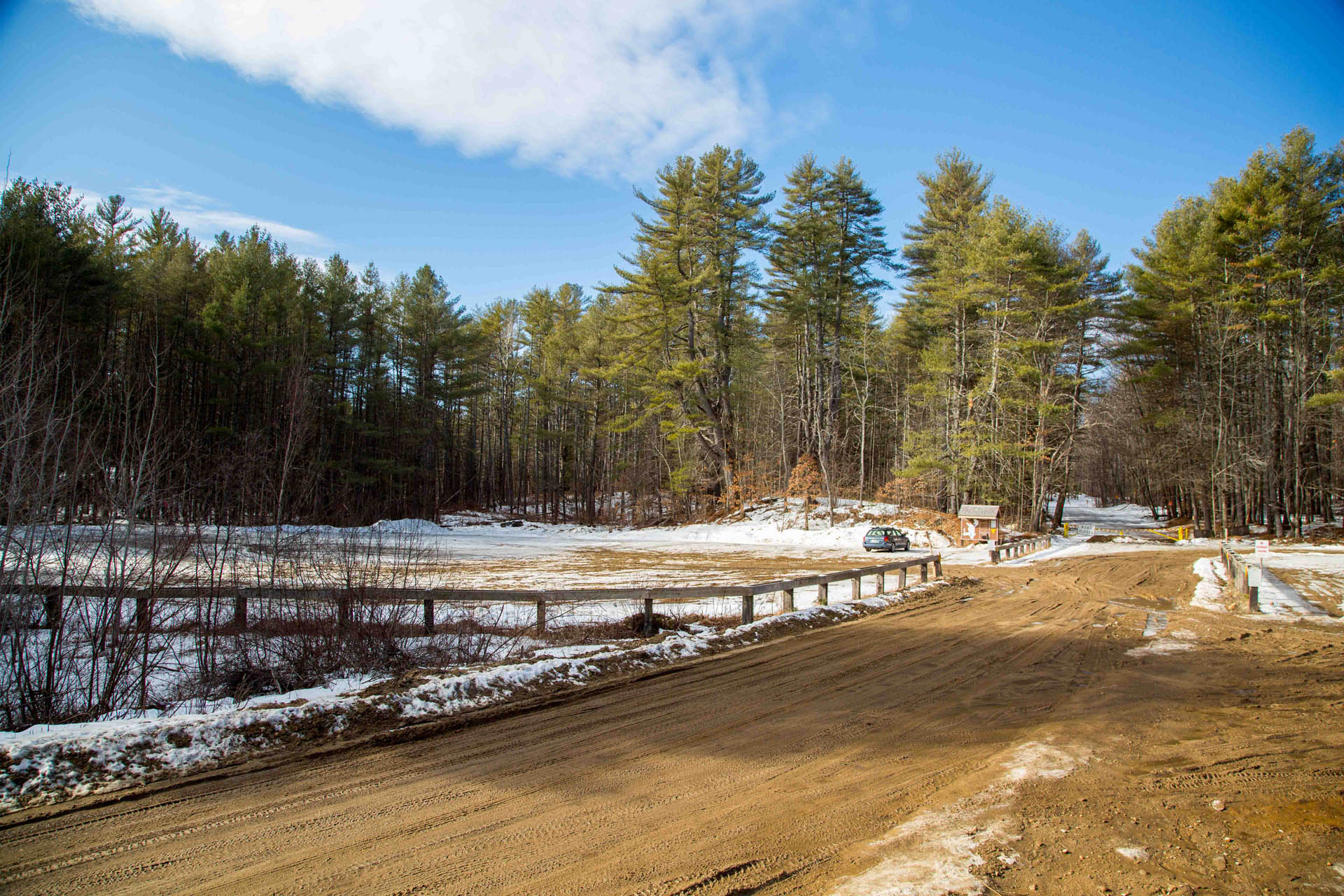
- Directions to Hop-Ev Parking Lot: From I-93 take 89 N to exit 2 (Route 13 / Clinton St / Route 77). Go West on Route 13 to flashing light at intersection with Route 77. Stay straight at flashing light onto Route 77 and watch for Ray Road on the left (across from Dunbarton Transfer Station). Follow Ray Road (changes to dirt) to the end until you turn into the lot.
- Hopkinton-Everett Trails Area Map
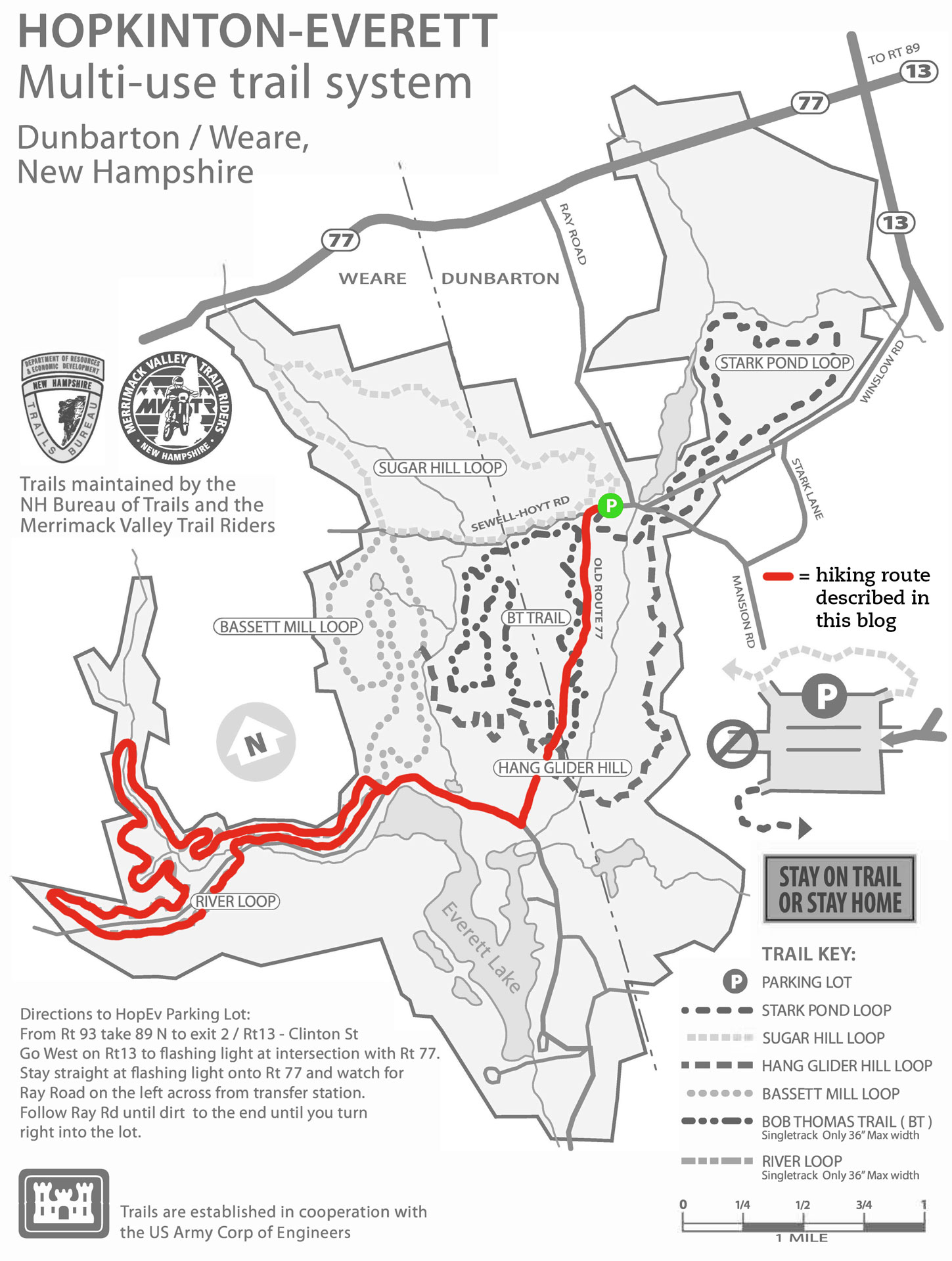
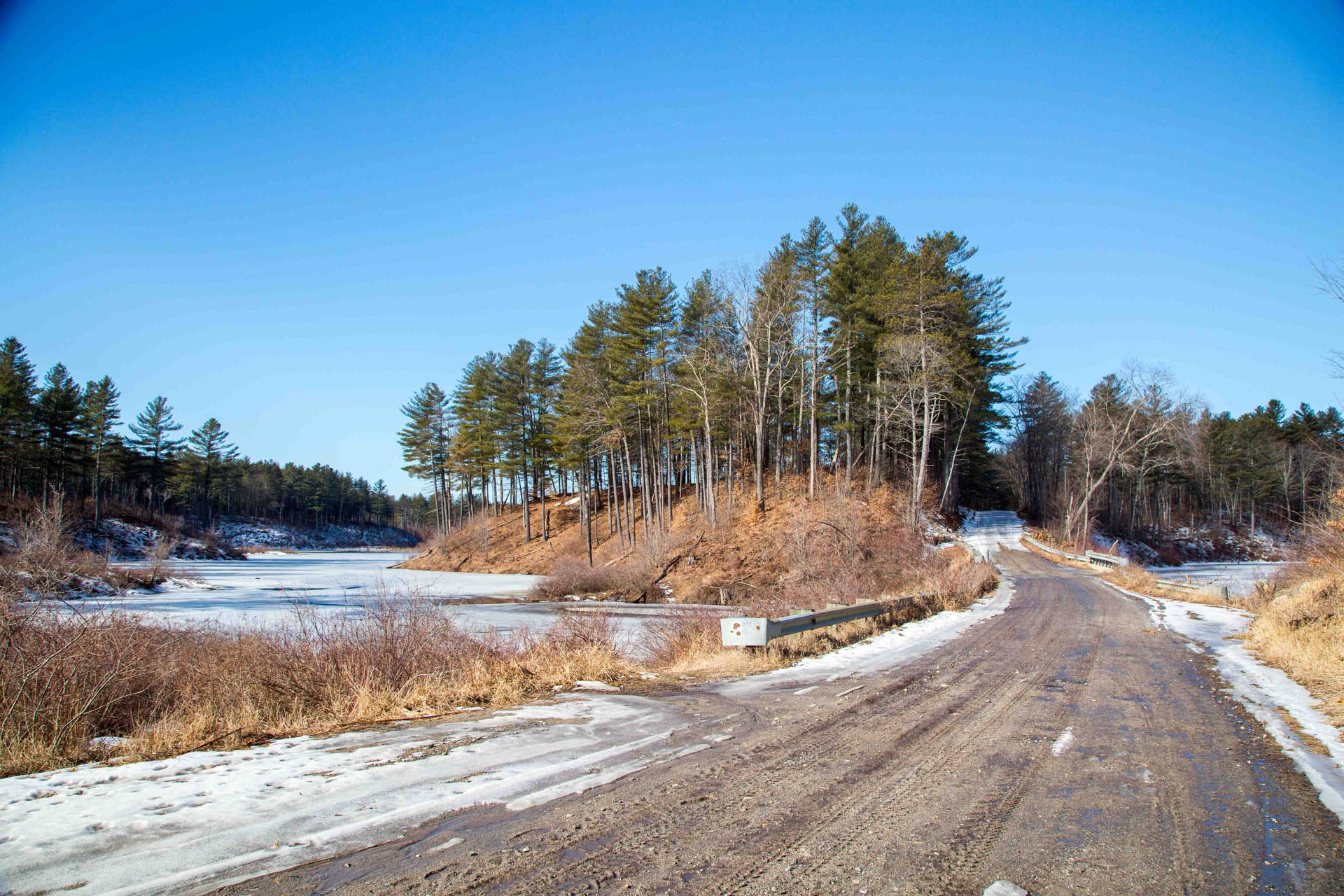
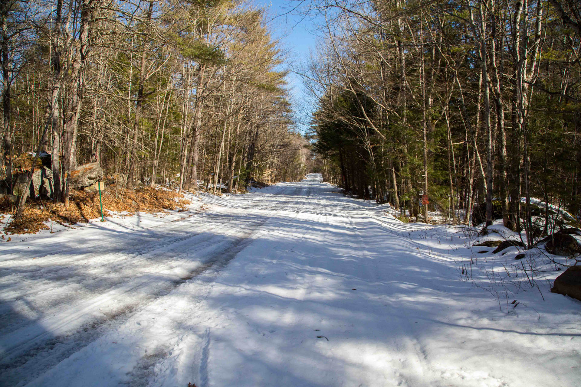
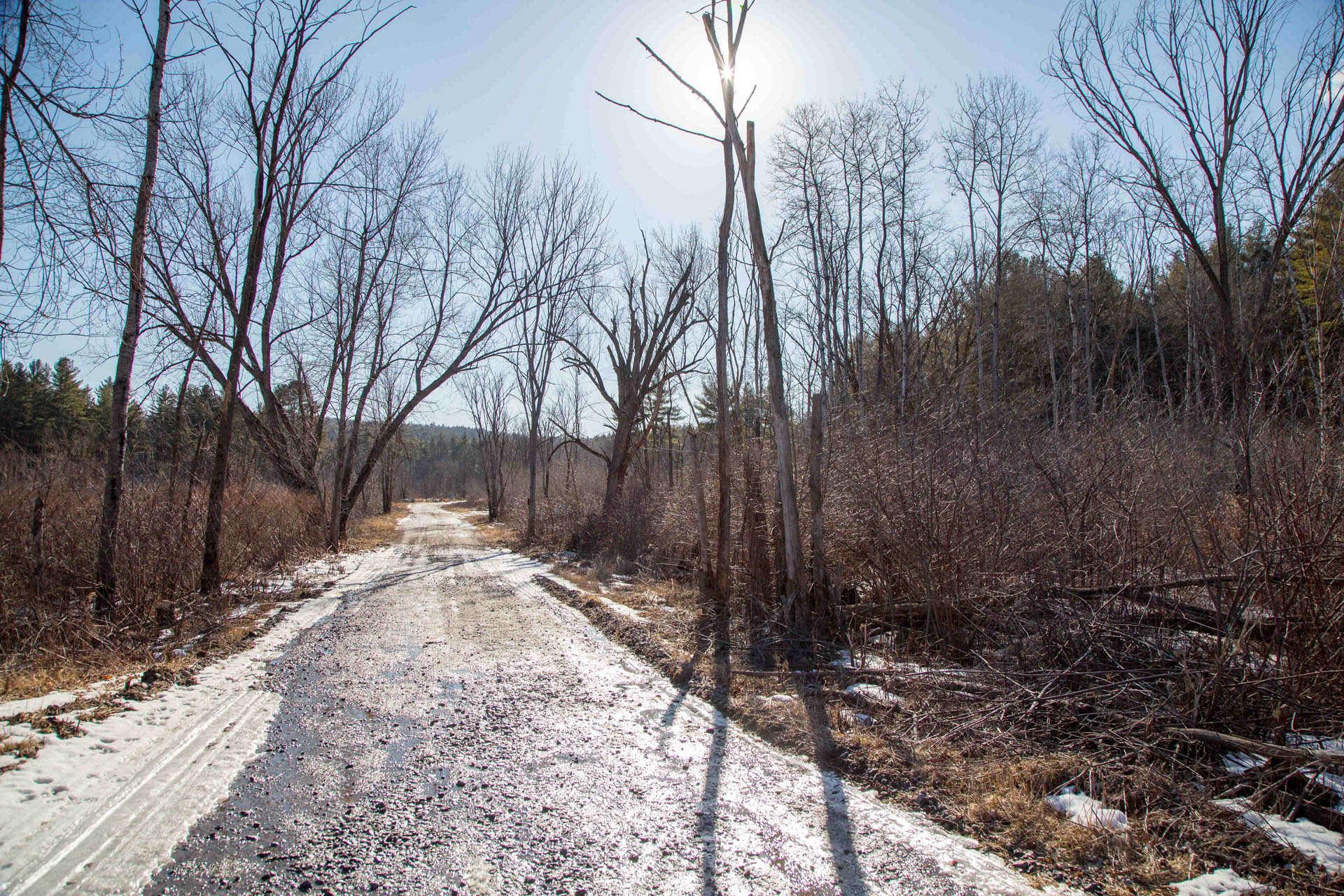
At the parking area look for the giant hand routed map of the trail system as this is a good reference to get your bearings before setting out. Walk past the gate and after a short distance turn left onto the wide gravel road (Old Route 77) toward Everett Lake. Follow this road all the way down to the end where it T’s with another dirt road. There is a cool view through the trees to the dam on the other side of Everett Lake from here. Take a right here and follow this gravel road for another half mile or so and enjoy the many interesting views of Everett Lake along the way.


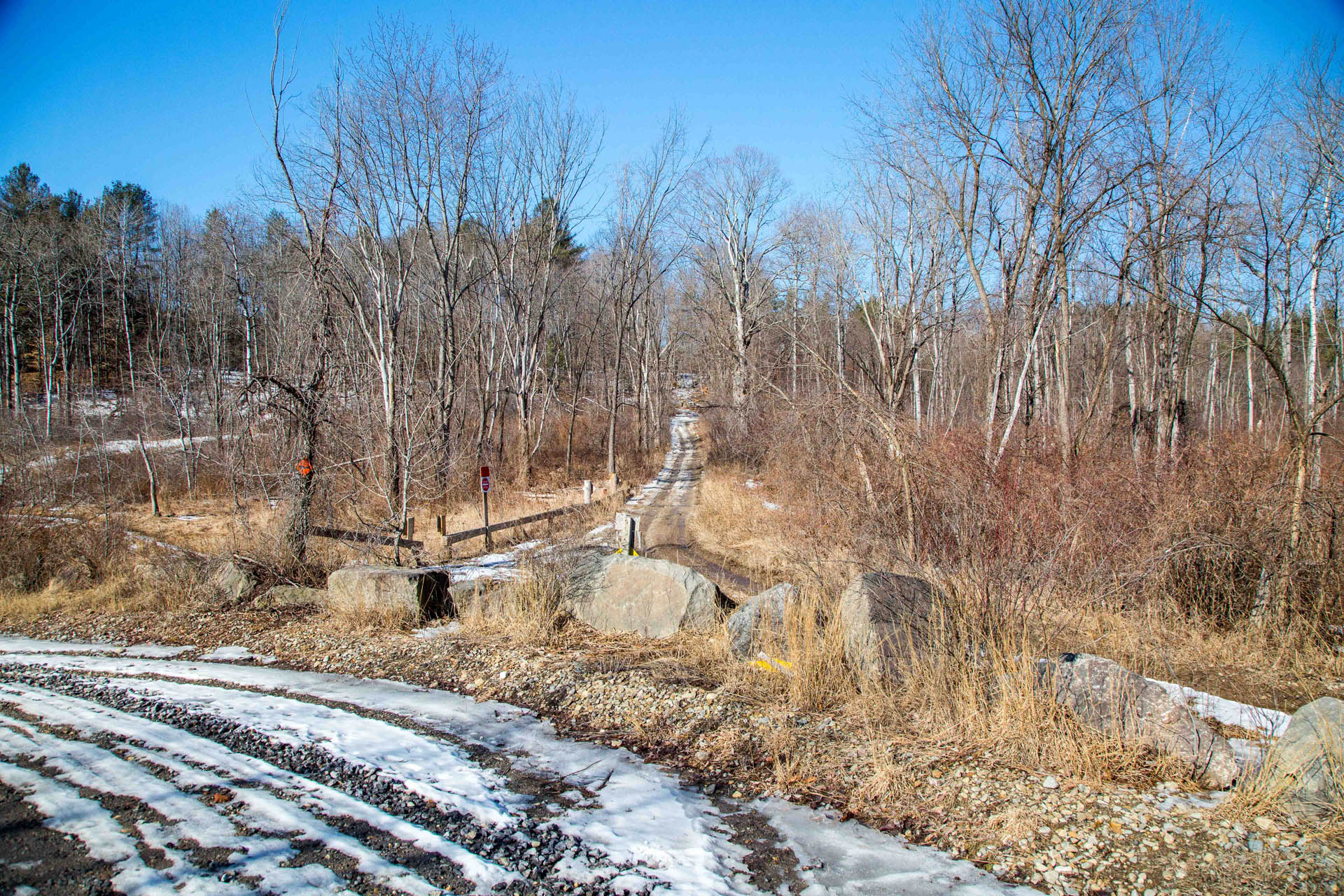
As the road starts to bend to the left, look for a trail access point on the right (you’ll see some giant rocks serving as a barrier with a small wooden fence behind). Enter here and walk straight up the hill for a short distance until you get to the trail info/map kiosk. This is where the River Loop begins. Walk through the wooden posts (marked with bright orange signs) and follow the singletrack.
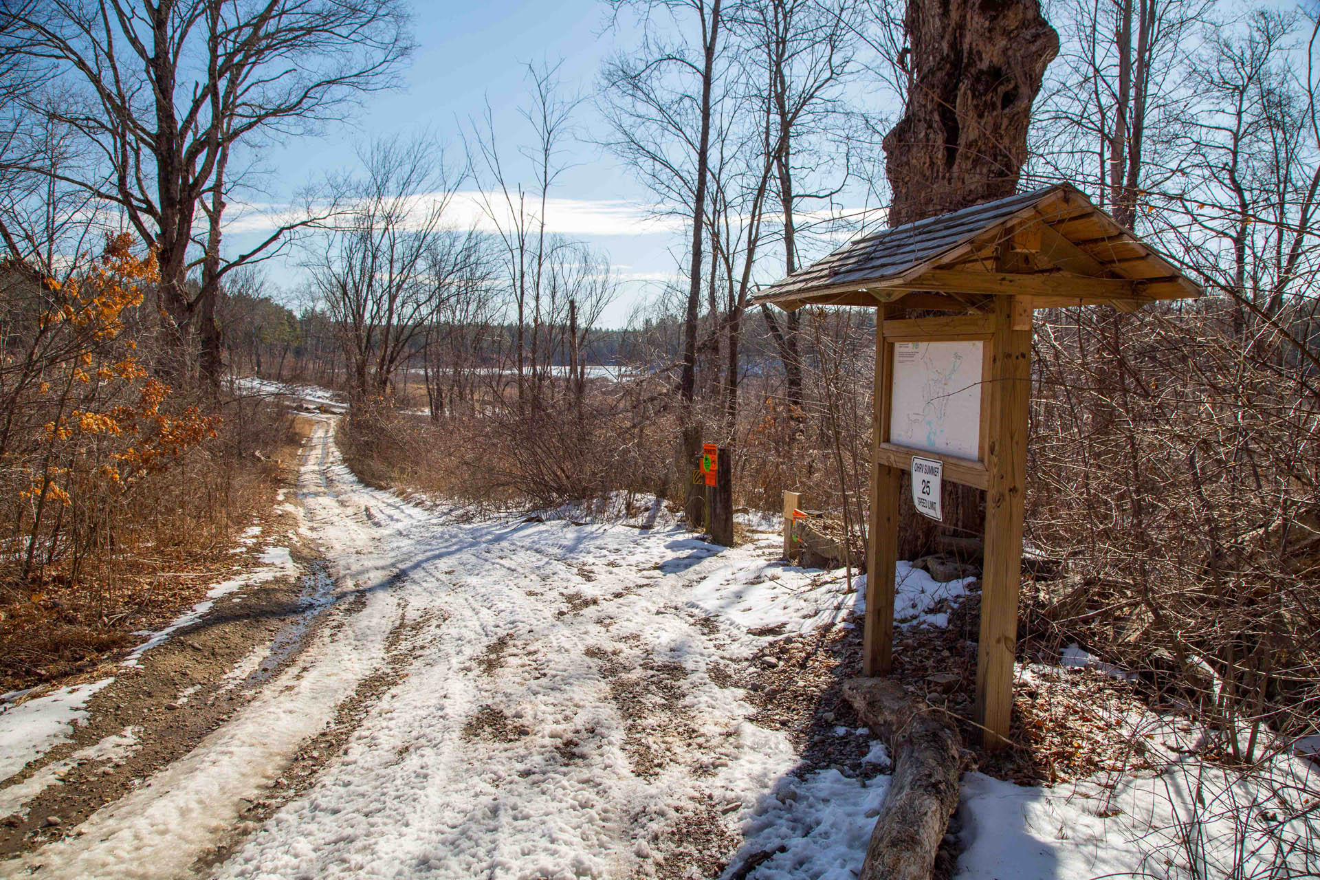
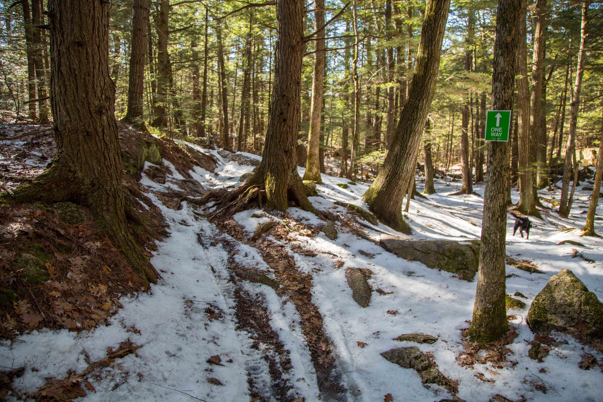
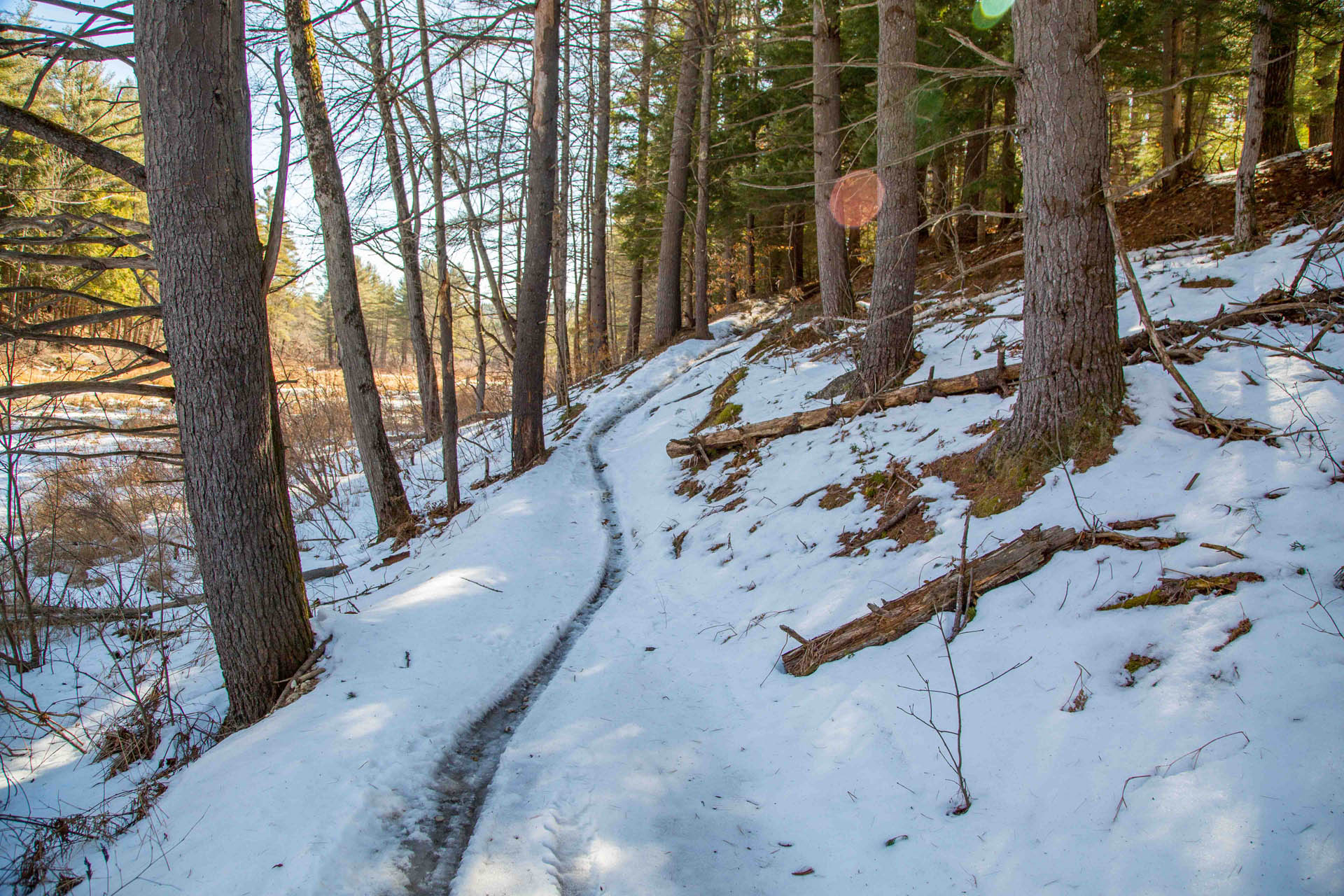
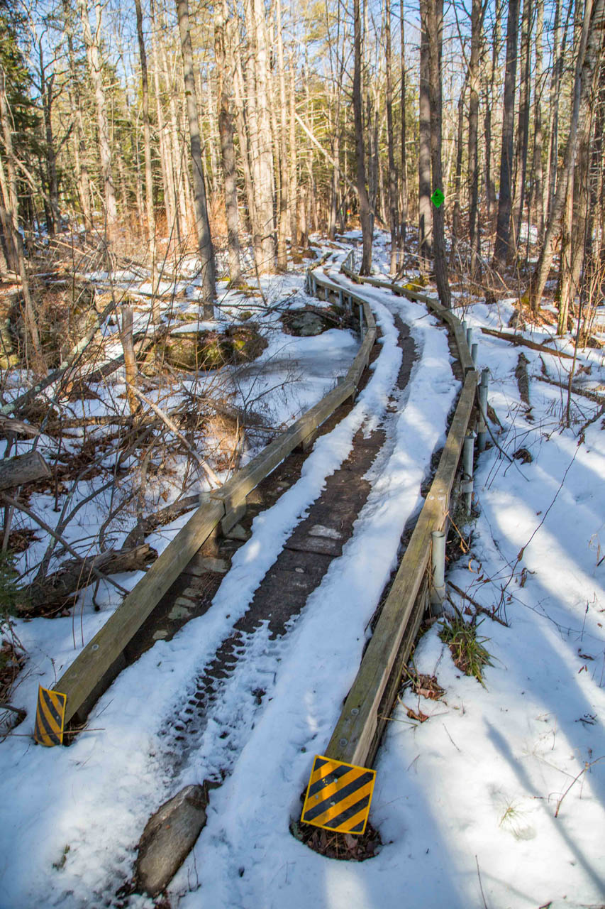
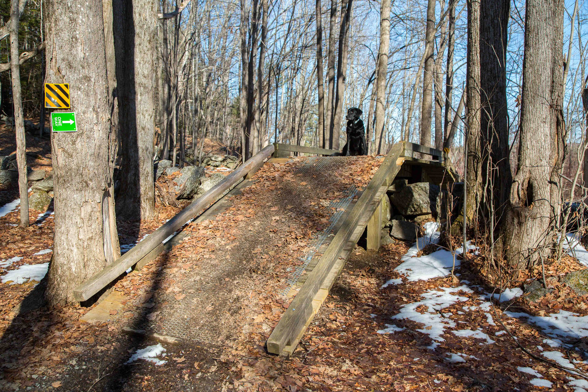
The River Loop Trail is well-marked and well-rutted from trailbike use so it’s easy to follow as it winds through the woods. The trail is a designated one way (for rider safety) and there are many signs pointing the direction and mile markers throughout the loop.
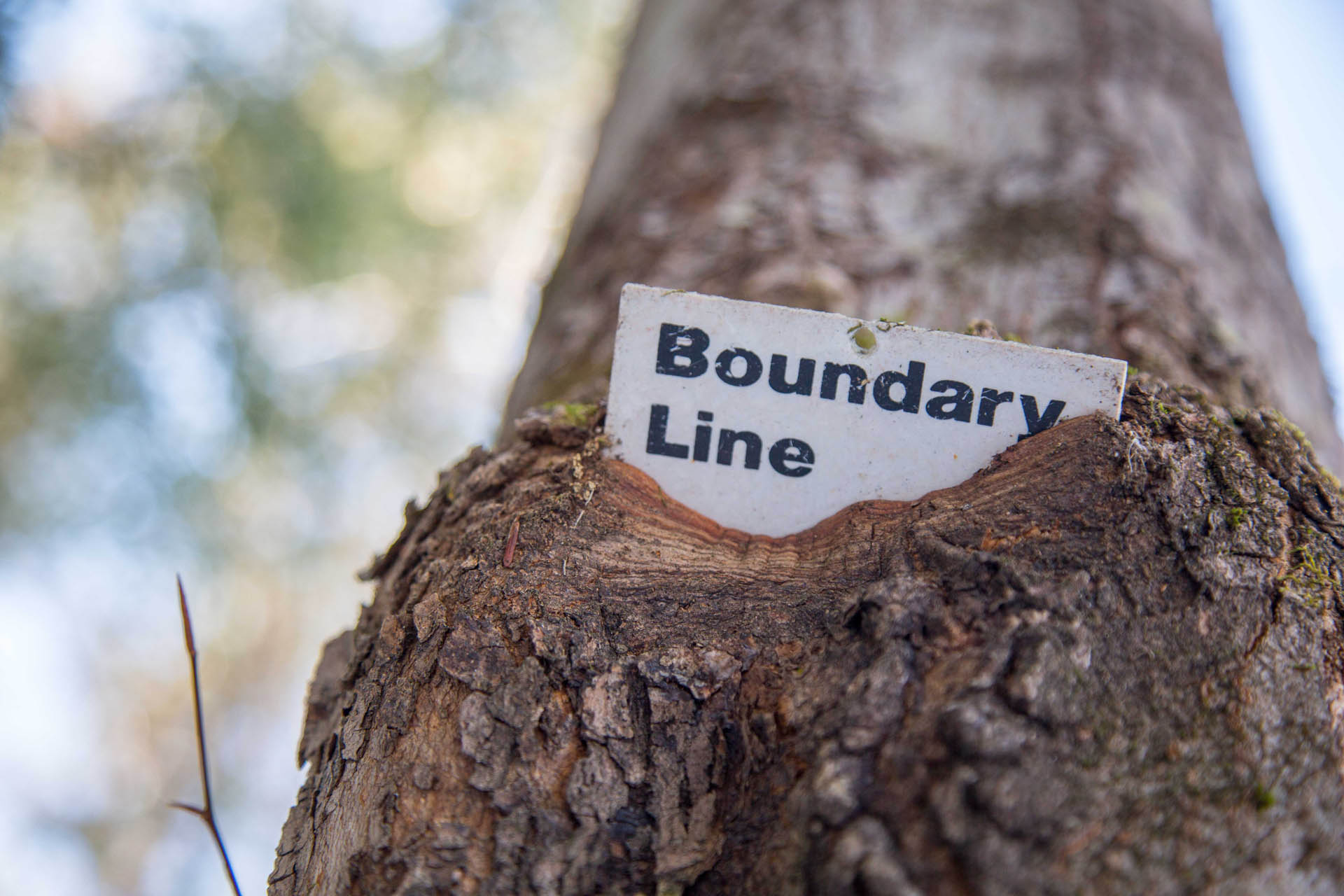
While the Hopkinton-Everett Trails Area is owned by the US Army Corps of Engineers it abuts some privately owned land so be mindful of these property postings and stay on the trail.
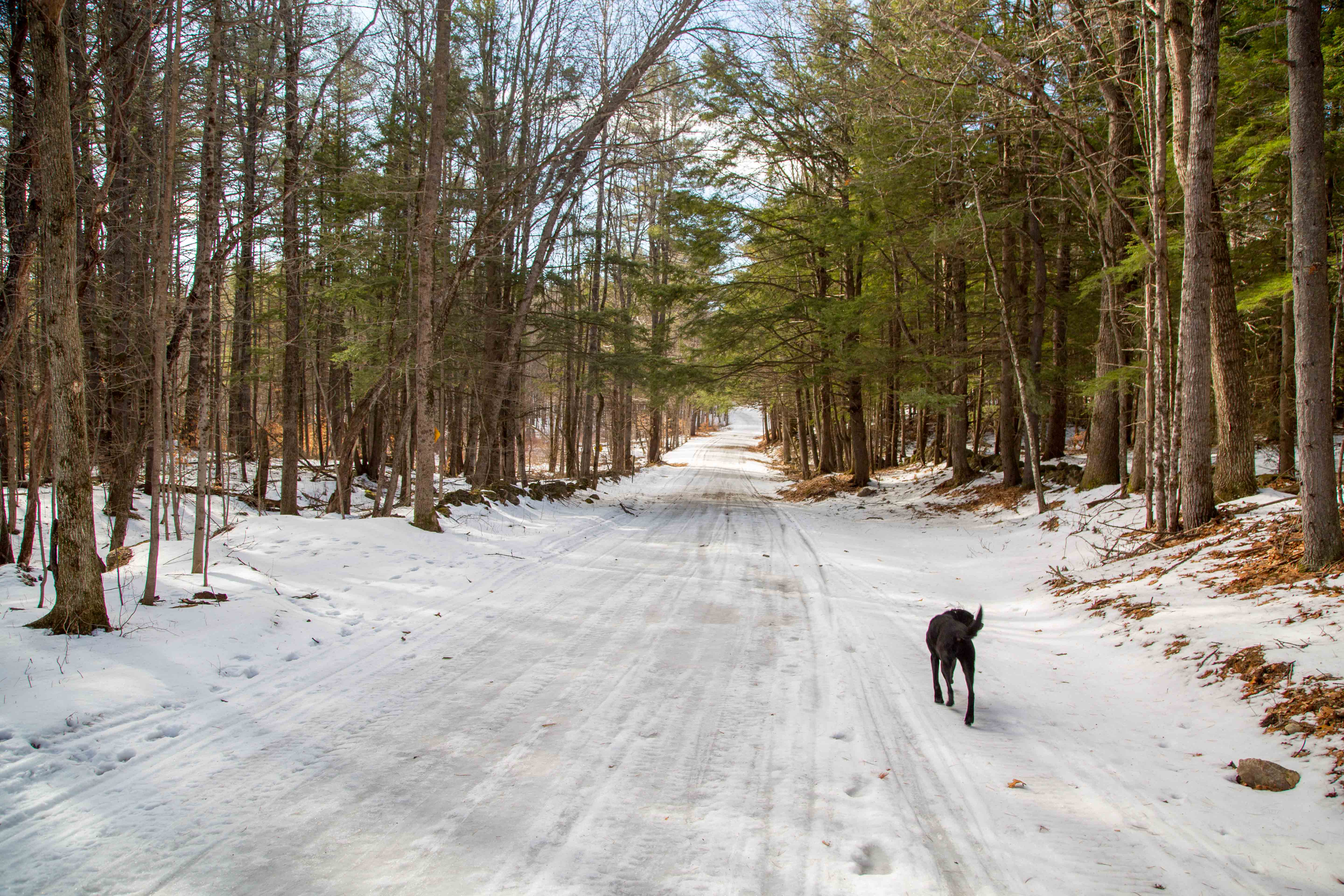
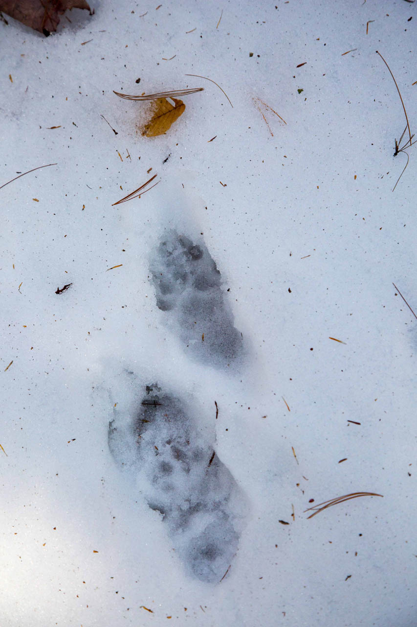
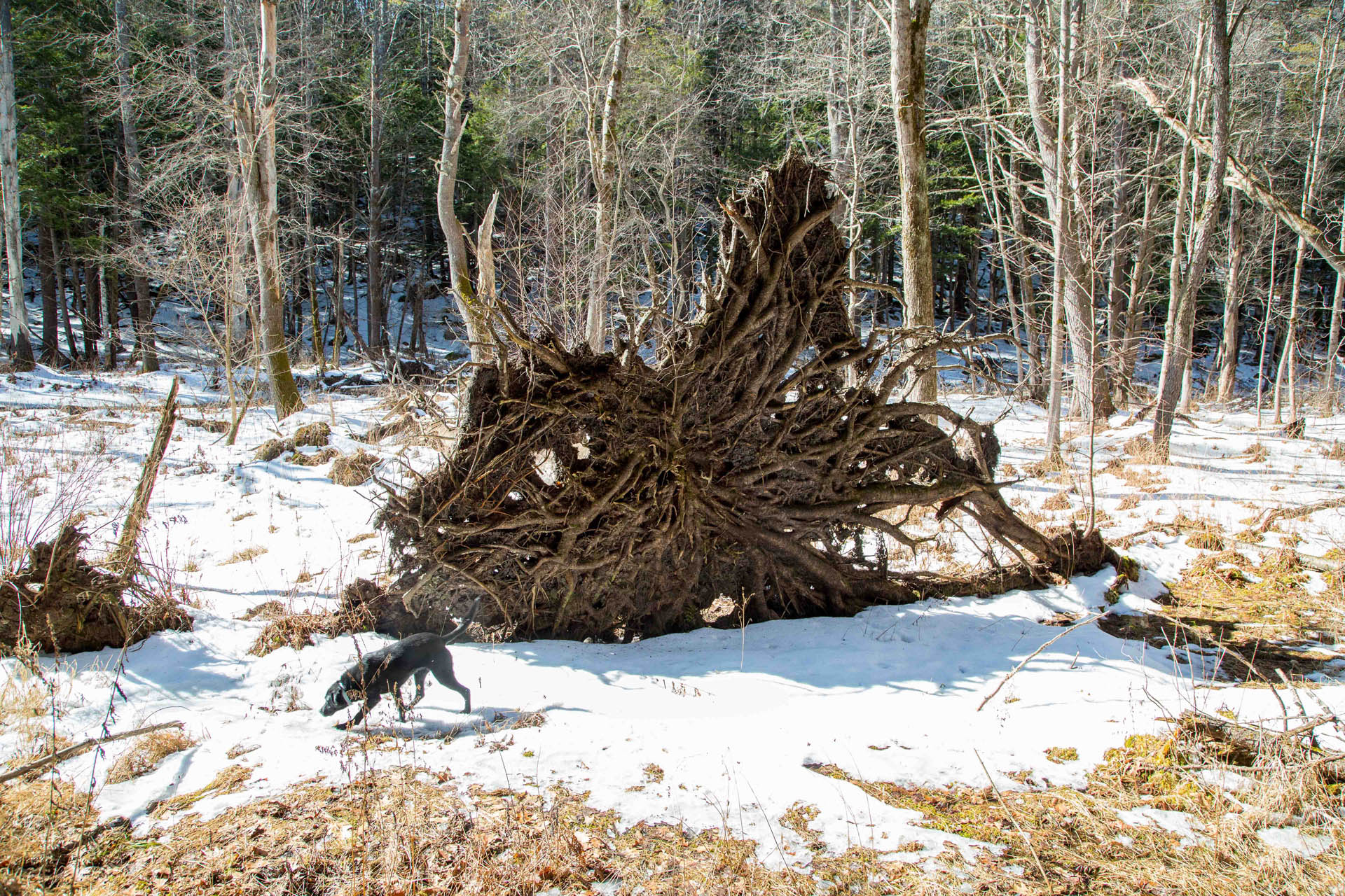
As the trail meanders through the woods over varied terrain I really got the feeling that I was on an outdoor adventure rather than just following a trail. Since there is not very much foot traffic out here (or OHRV traffic since it’s the start of mud season) it is great spot for wildlife viewing as well. Although I did not see any animals on the day I hiked it, there were plenty of animal tracks criss-crossing the trail and birds fluttering through the trees.

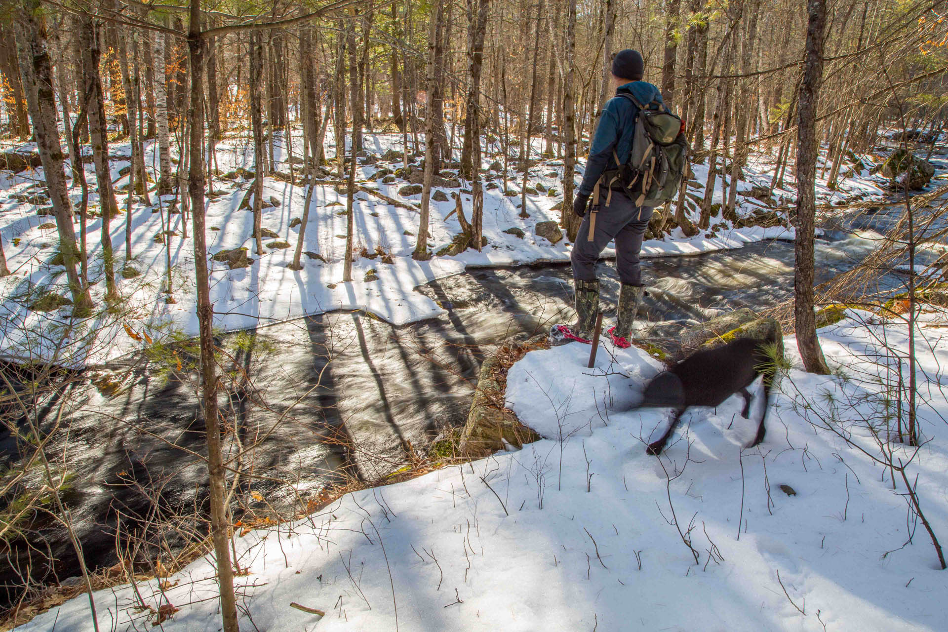
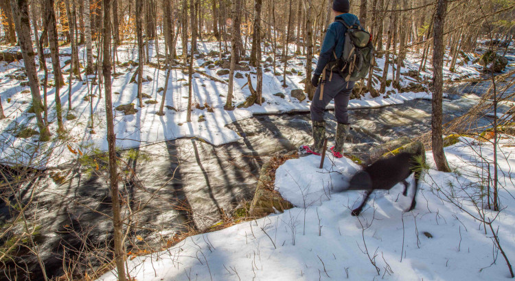
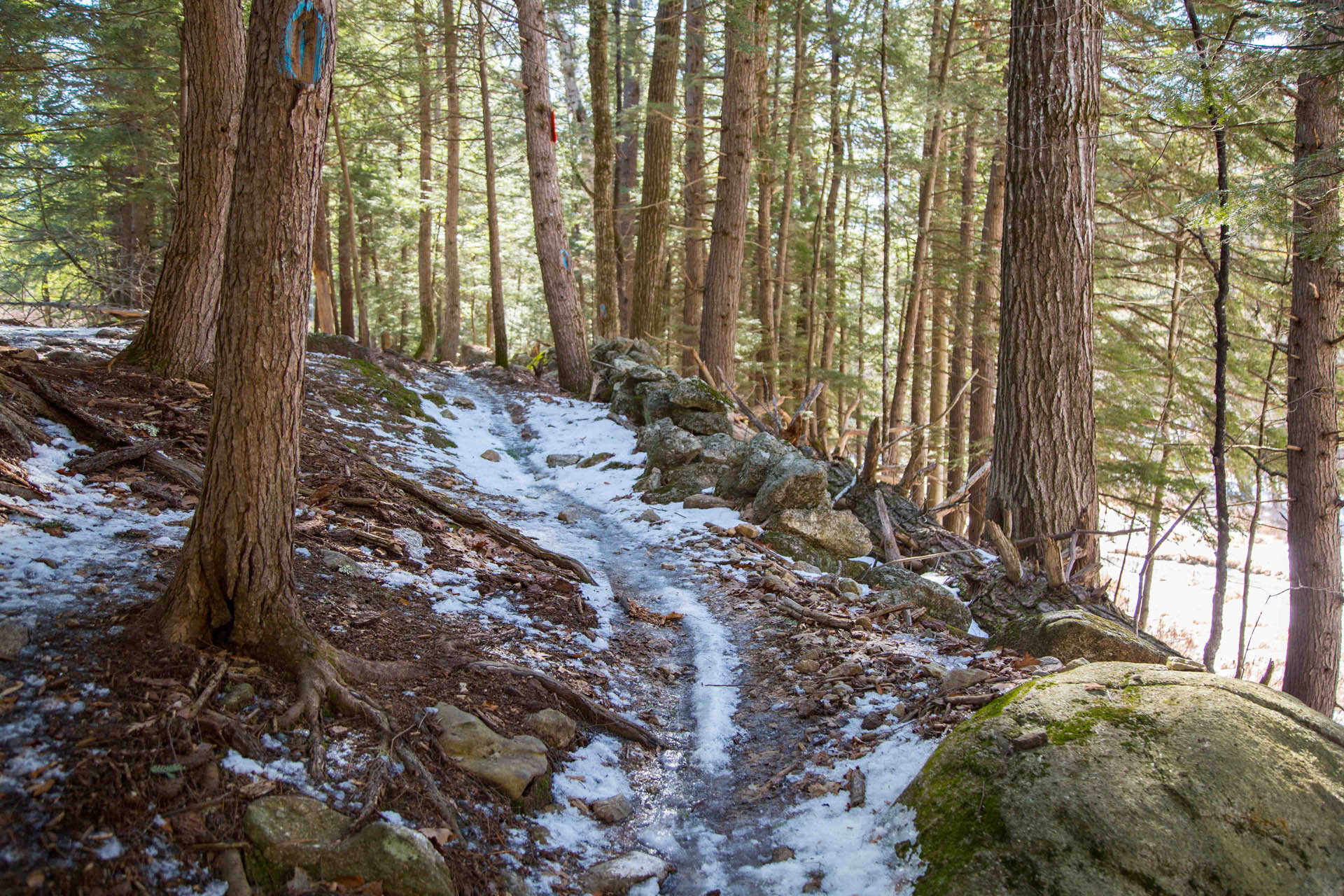
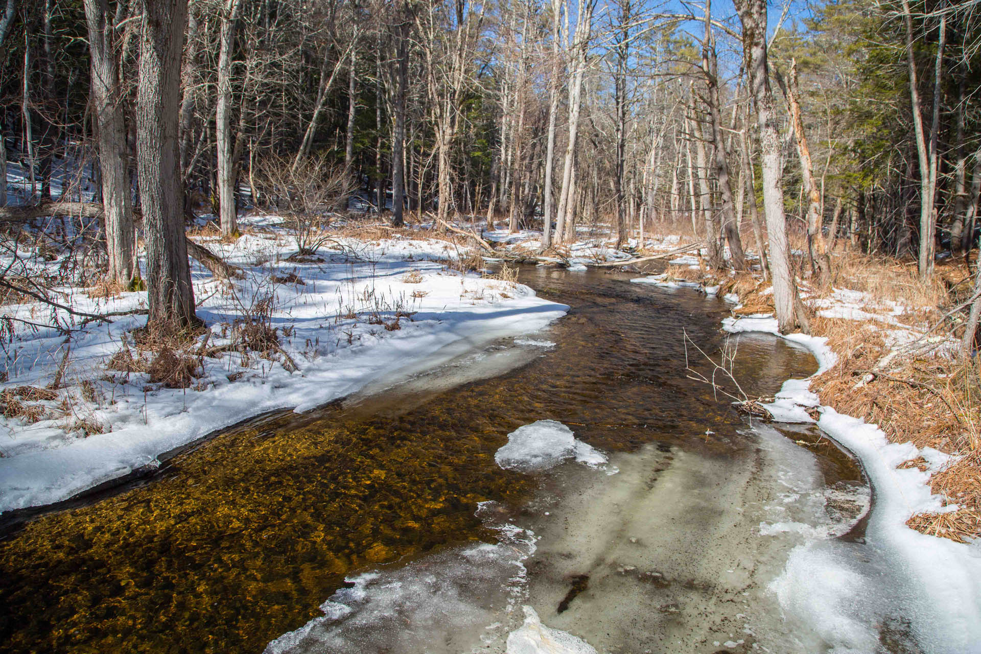
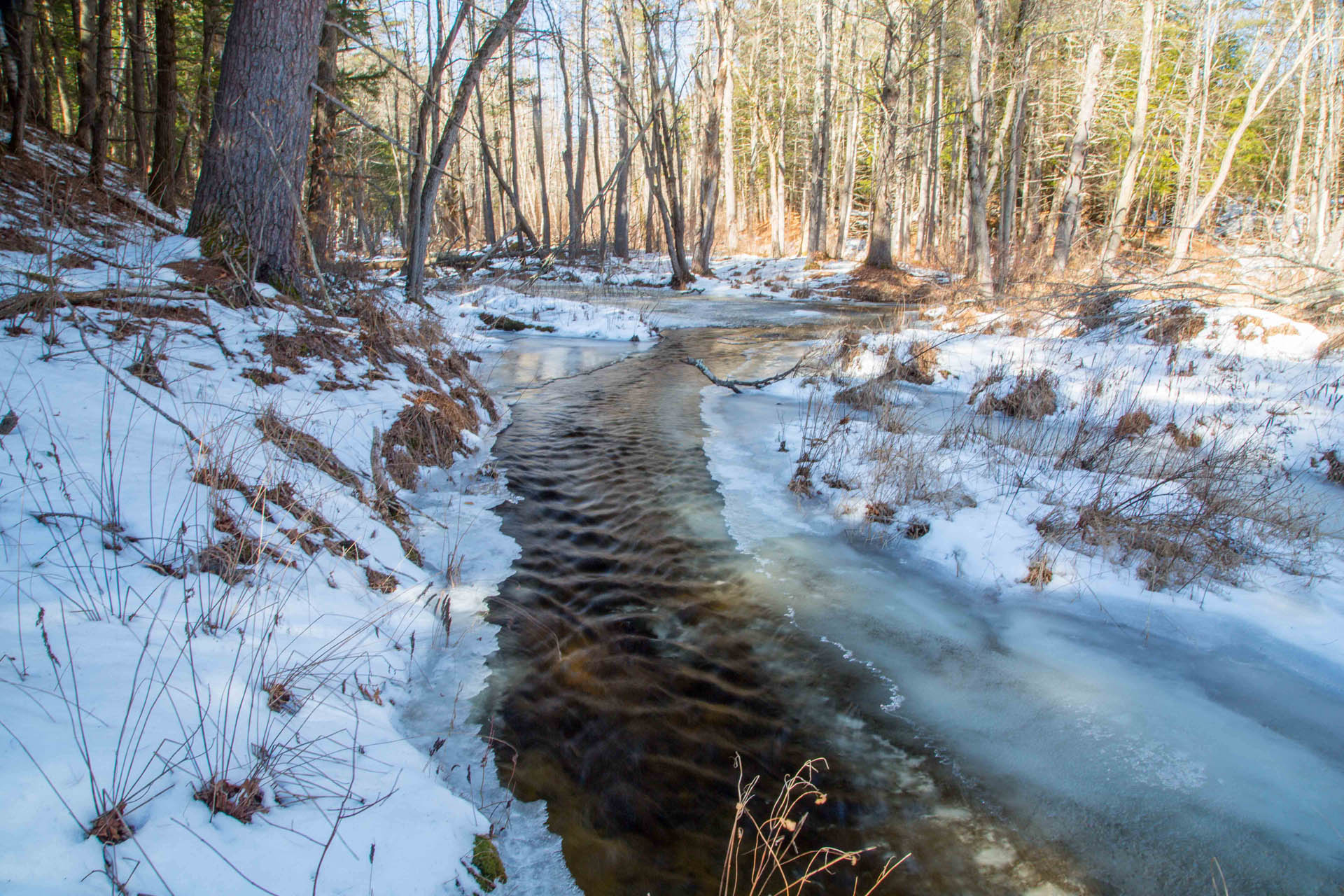
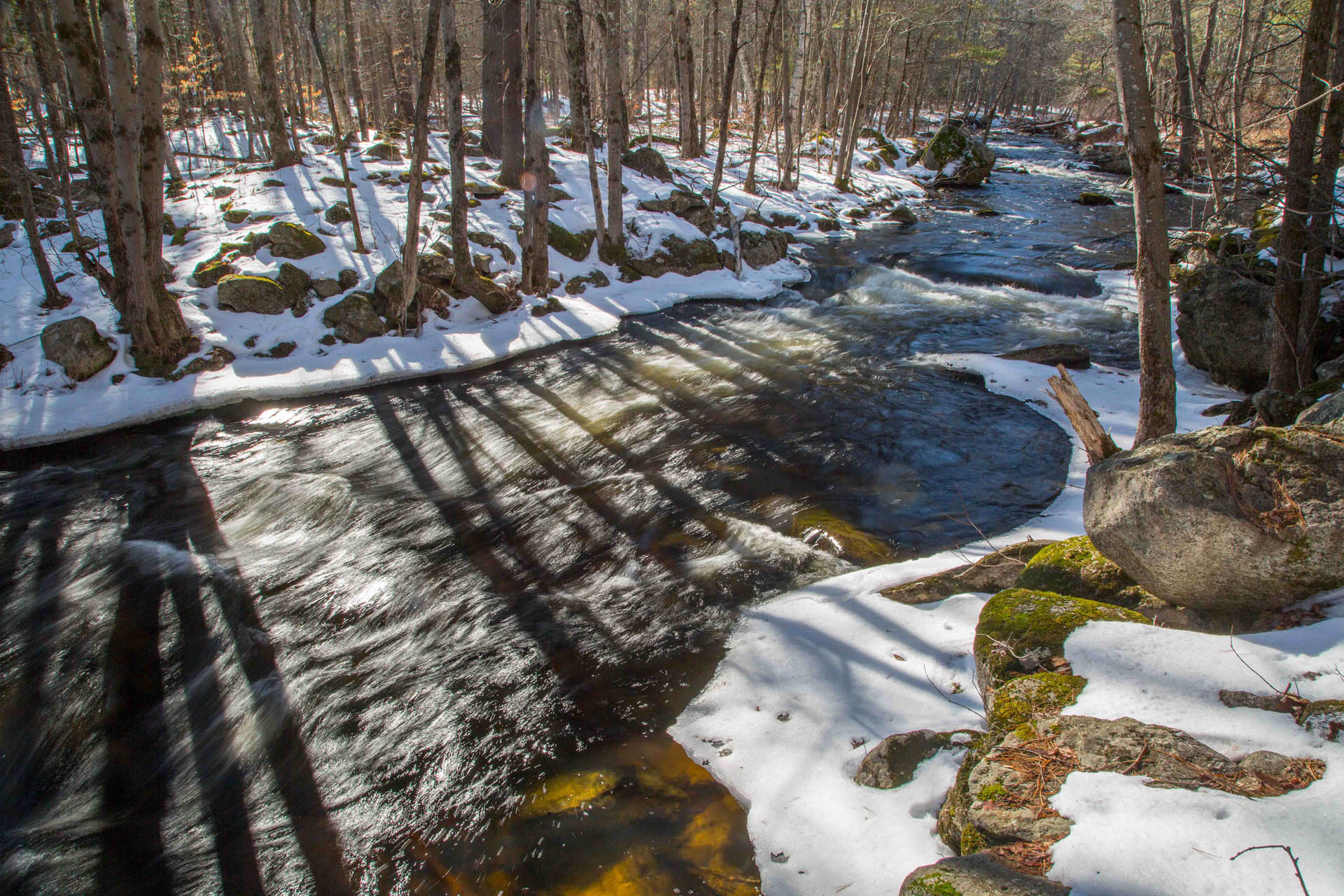
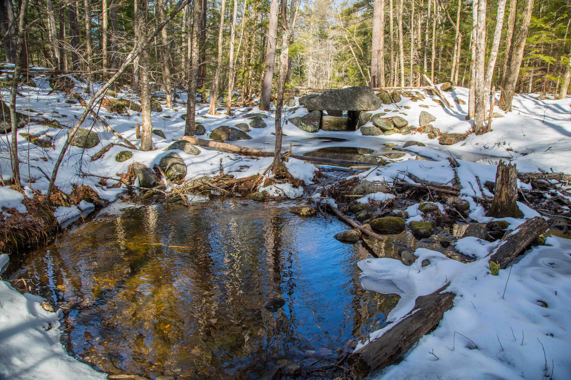
One of the reasons I like this trail so much is because it travels alongside the Peaslee Meadow Brook for much of the way. After about a half mile or so, the trail comes up next to the brook and provides views of the waterway as it flows down through the forest. The scenery along Peaslee Meadow Brook and sounds of the trickling water make a compelling backdrop for an outdoor adventure and lend to the feeling of wilderness exploration. I found myself stopping many times along the brook to snap photos, look for wildlife and appreciate my surroundings. There are several old stone walls through this section as well showing evidence that early settlers once used this land for farming.
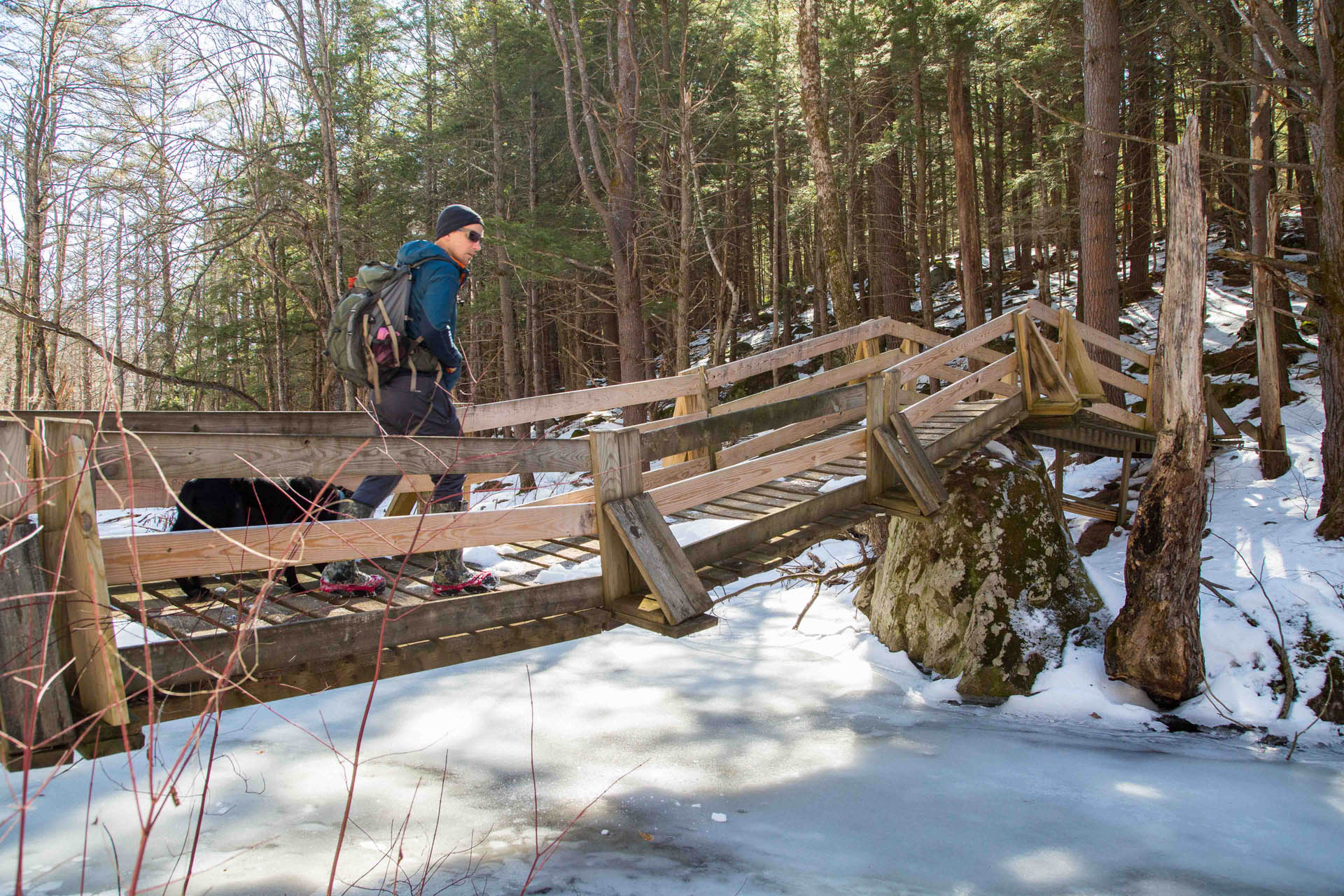
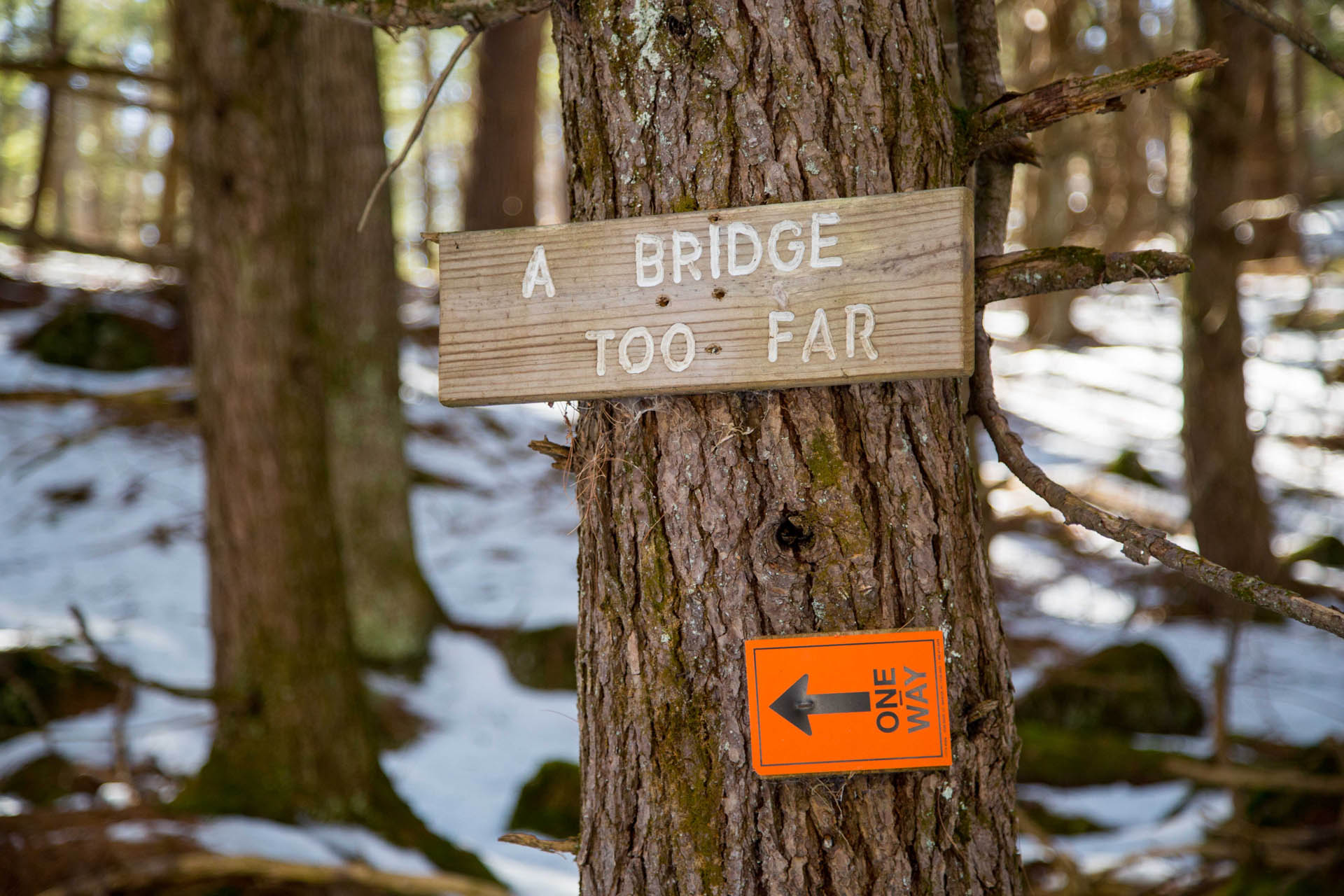
The ‘Bridge Too Far’ may be one of the coolest features of this trail. The Bridge Too Far is a wooden suspension bridge that crosses Peaslee Meadow Brook. The bridge is located way out in the middle of nowhere and makes you wonder about the effort it took to construct it. It’s not like the typical ‘solid’ wooden bridge you might normally encounter while hiking but a flexible structure with wooden planks supported and suspended by wires underneath. It’s a cool feeling to cross a bridge that flexes and sways underfoot.
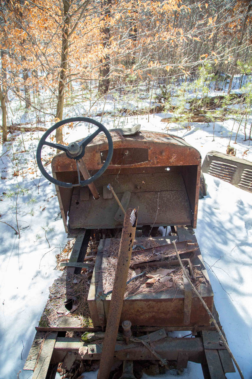
After crossing the Bridge Too Far the trail continues along Peaslee Meadow Brook for another mile or two. The trail brings you through some beautiful stands of hemlock, over several smaller bridges, water crossings, and by an old automobile artifact in the woods. Each of the small bridges have a unique name and made me wonder about how they came to be. Another interesting feature was the steep hill (paved with cinder blocks) named the “Wall of Death.”


Eventually, the trail turns away from the brook and continues through open hardwood forest twisting and turning its way for a while before coming back to the gravel road. This is the same road that leads back to Everett Lake and you could make your way back on this route if you wanted to. However, to continue on River Loop, cross the road and enter the trail again on the other side to make your way down toward the Piscataquog River.
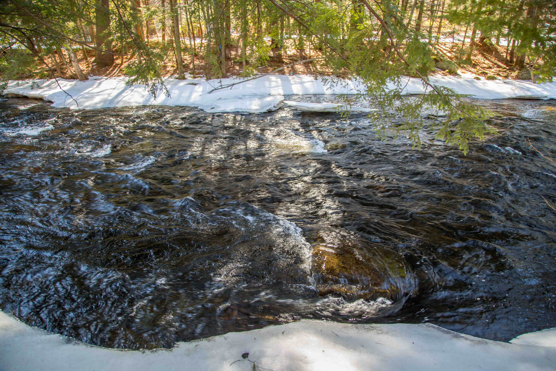
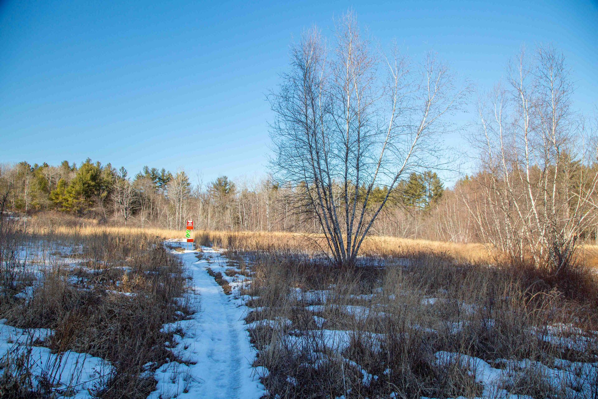
Once you cross the road and head down the trail you immediately hear the sounds of strongly rushing water and see the powerful Piscatquaog River raging down through the woods towards Everett Lake. This was another favorite part of my adventure. Water features are always a compelling part of outdoor adventures for me and I found myself sneaking down to the water’s edge to get a peek of the river and look for interesting angles to photograph. There are several places where the trail comes right up to the river’s edge, providing some open views of the water. As the trail veers away from the River it also passes through an open grassy field.
Eventually the trail comes back up to meet the gravel road again. The trail continues on the other side of the road but again you could potentially just make your way back on the road if you wanted. I chose to cross the road again to follow the trail and found myself winding through the woods once more. At this point, fatigue was starting to set in and the winding nature of the single track was tiresome. However it reinforced the feeling of outdoor adventure so I continued on. There were a few more neat little wooden bridges and water/mud crossings along this section too and a ramp that brings you up and over one of the many stone walls.
By the end of the River Loop I was glad to be back on the gravel road again for the easier walk back to the parking area. The afternoon sun provided a new perspective on the landscape as I walked back and the open flat road made it easy to let my mind process all the scenery I had just taken in.
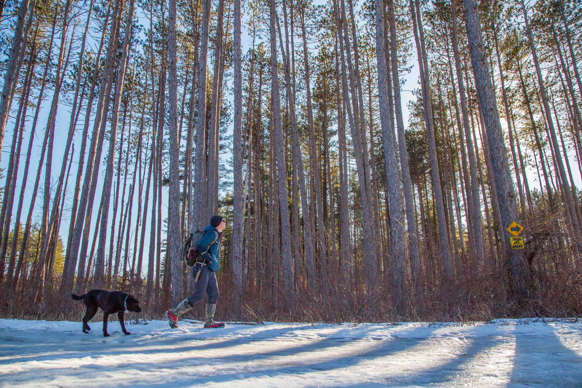
Before turning left and back onto Old Route 77 (gravel road to parking area) I paused one more time to appreciate the stand of tall red pines which looked really cool in the afternoon light. The walk back on Old Route 77 seemed longer on the way back up, no doubt because of my fatigue.
The hike was well-worth the effort as I really love hiking adventures that have no particular ‘summit’ or destination but are rather more like wandering through the woods for a chance to connect with nature and clear my head.
This property is owned by the US Army Corps of Engineers and is sometimes called the “Hop-Ev” or Hopkinton-Everett Reservoir. The Army Corps uses it for flood control in the Merrimack River Valley. Via a partnership agreement, the New Hampshire Bureau of Trails and Merrimack Valley Trail Riders OHRV Club manages the 26 or so miles of multi-use roads, double-track and singletrack trails on the property. The trails are open daily from dawn to dusk but may close temporarily due to flood control operations and during mud season. Hop-Ev is closed to mountain bikers and OHRVs from the end of continuous snow-cover until May 23rd.