We’ve decided that in light of another successful, extreme, insane Bear Brook State Park Trail Marathon organized by Acidotic Racing this past weekend that we wanted to share our favorite trails in New Hampshire for those who are more like us and less like the 168 crazy, amazing athletes that finished that event.
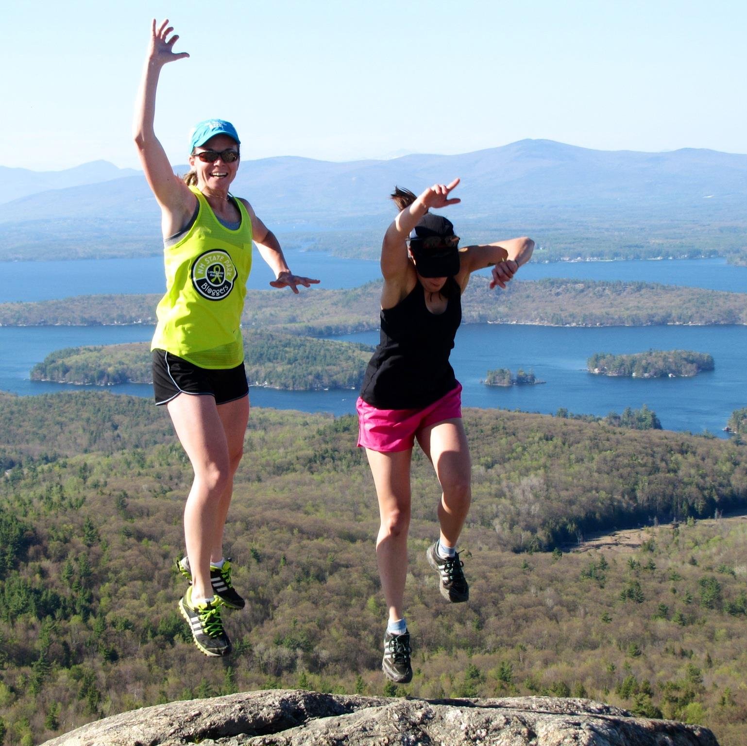
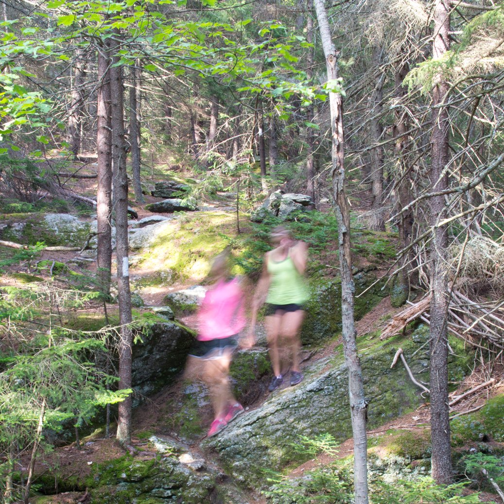
Between all 14 runners and van managers in our Reach the Beach Relay team, we have explored almost every corner of New Hampshire from the perspective of those who love to move and challenge ourselves. All of these trails are perfect for hiking and some even attract trail runners of varying abilities.
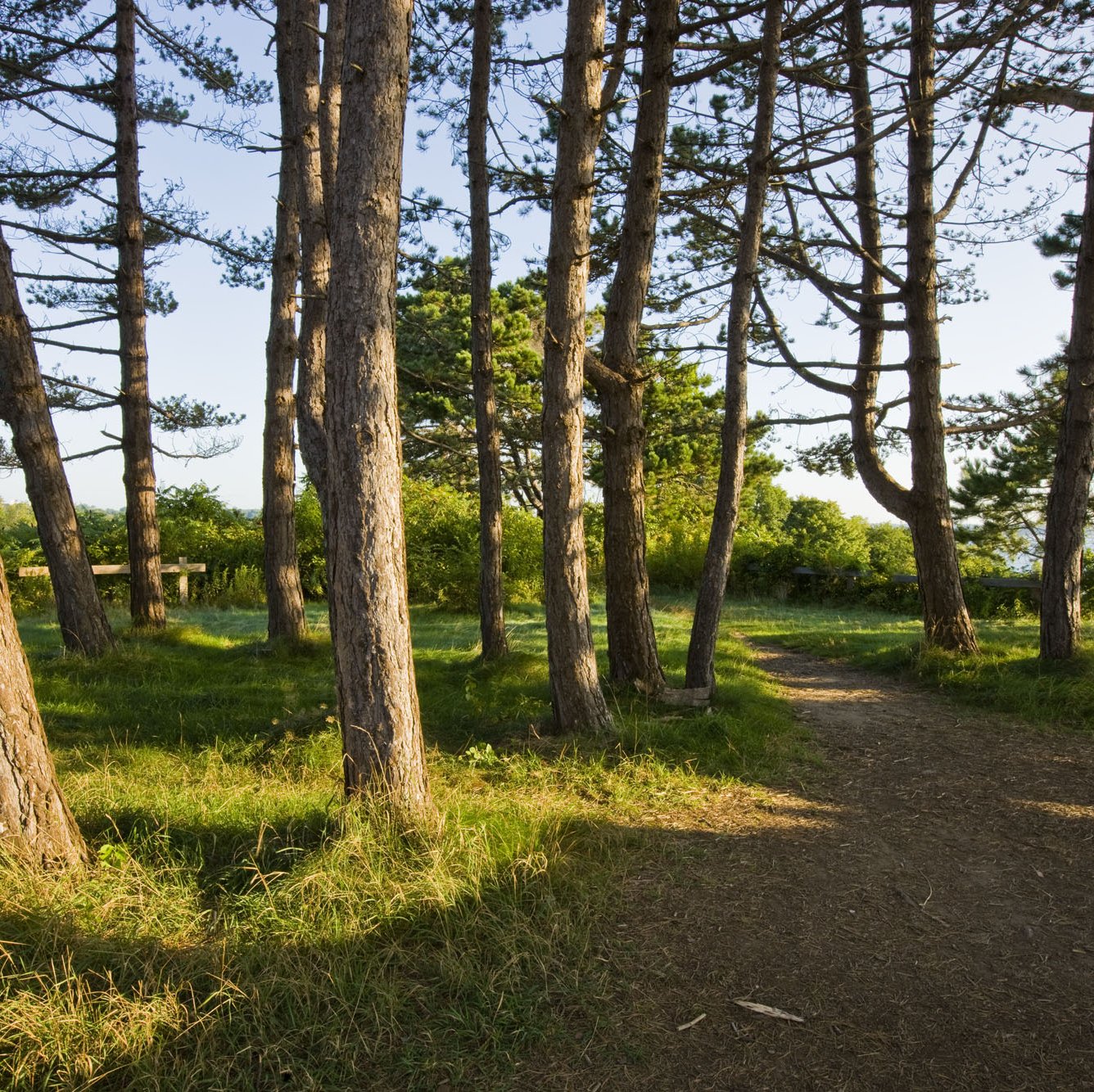
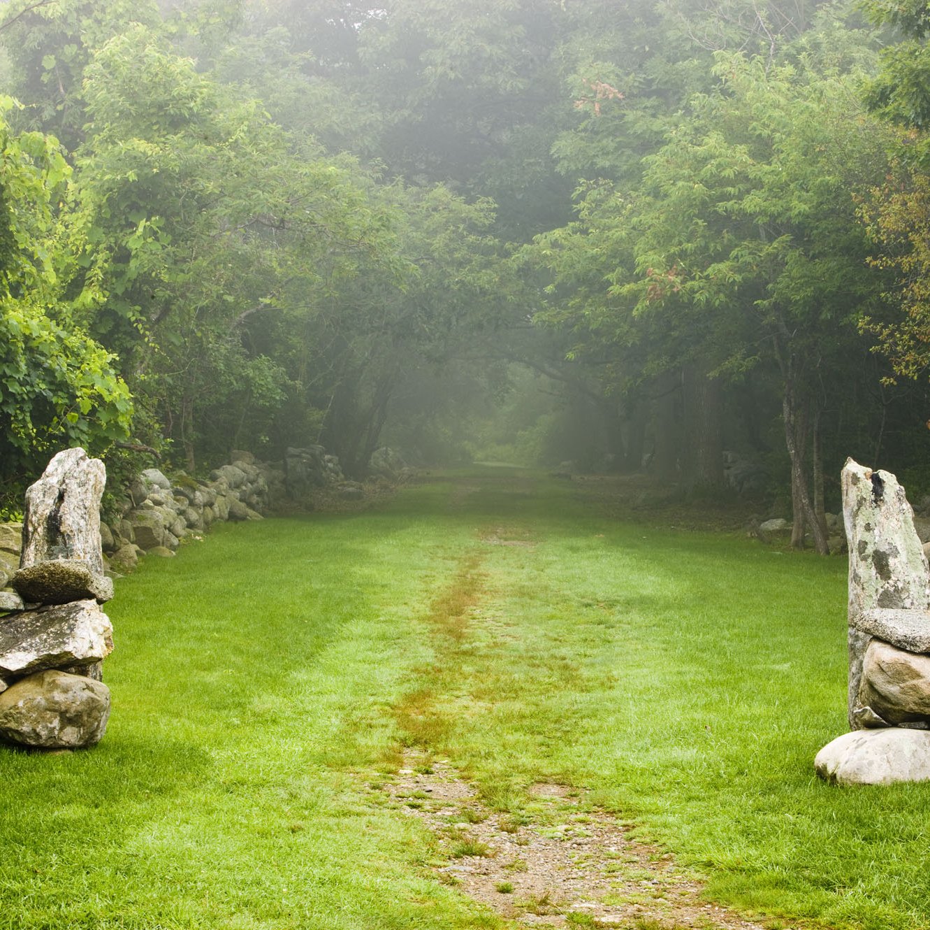
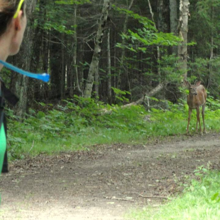
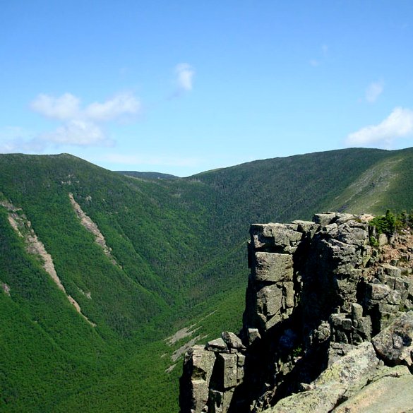
Our favorites will take you to the seacoast where the easy sand and gravel paths guide you past abandoned military bunkers with the sounds of the Atlantic Ocean crashing into the barnacle covered rocky coastline. They will take you up steep and challenging trails to ridges above treeline that traverse the towering summits in the White Mountains. There are secluded lakes and swimming holes. Blueberry patches and wild strawberries. And wildlife! Nesting hawks, soaring ravens, and playful gray jays will grace you with their company. There are so many breathtaking places to discover when traveling by hiking boot and they are all so close.
The best part is that you don’t have to be able to run 26.7 miles over single track trails with 2,342’ elevation gain in three and a half hours like Bear Brook Marathon winner Chris Mahoney from Massachusetts did. All you need is preparedness, some physical endurance, and a fascination with the natural world around you. You can find preparation and packing advice in this prior blog post and even more advice for more aggressive hikes through the Appalachian Mountain Club’s website www.outdoors.org.
Trail Name: Odiorne Point State Park Trail to Frost Point
Difficulty/Distance: Easy/~3 miles loop
Finding the trailhead: Odiorne Point State Park main entrance off of Route 1A South/Ocean Blvd in Rye.
Notes: Seacoast. “I picked Odiorne Point State Park in Rye, where there are beautiful trails with the added bonus of ocean views. I’ve run the “Whale of 5k” race here before and it was probably the prettiest race course I’ve ever run! You travel from wooded trails right out onto the sandy beach and past historic military fortifications. Trail map here: http://www.nhstateparks.org/uploads/pdf/OdiorneTrailMap_web.pdf. And obviously you don’t have to wait for the race to run the trails- you can go visit the park and enjoy the trails any time you want.” – Stacy
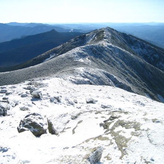
Trail Name: Franconia Ridge Loop – Old Bridle Path to Franconia Ridge to Greenleaf Trail to Falling Waters Trail.
Difficulty/Distance: Challenging/~9 miles loop
Finding the trailhead: Lafayette Place Parking Area directly off of I-93 in Franconia Notch State Park in the western White Mountains.
Notes: Highest elevation is 5,260’ on Mount Lafayette. “I don’t do it often, but one of my favorite things to do is run along the ridge. It is one of the most freeing feelings in the world. My 9-mile loop moves south over Little Haystack Mountain, Mount Lincoln, and Mount Lafayette. Once you are at the summit of Lafayette start running. The run is challenging but totally worth it. Suggest doing it midweek and off season so you’re not running into people.” – Cait
Trail Name: Mount Major Trail
Difficulty/Distance: Moderate (Great for families)/ ~ 3.5 miles out and back
Finding the trailhead: In the southern Lakes Region, park in the trailhead parking lot off of Route 11 north of Alton Bay.
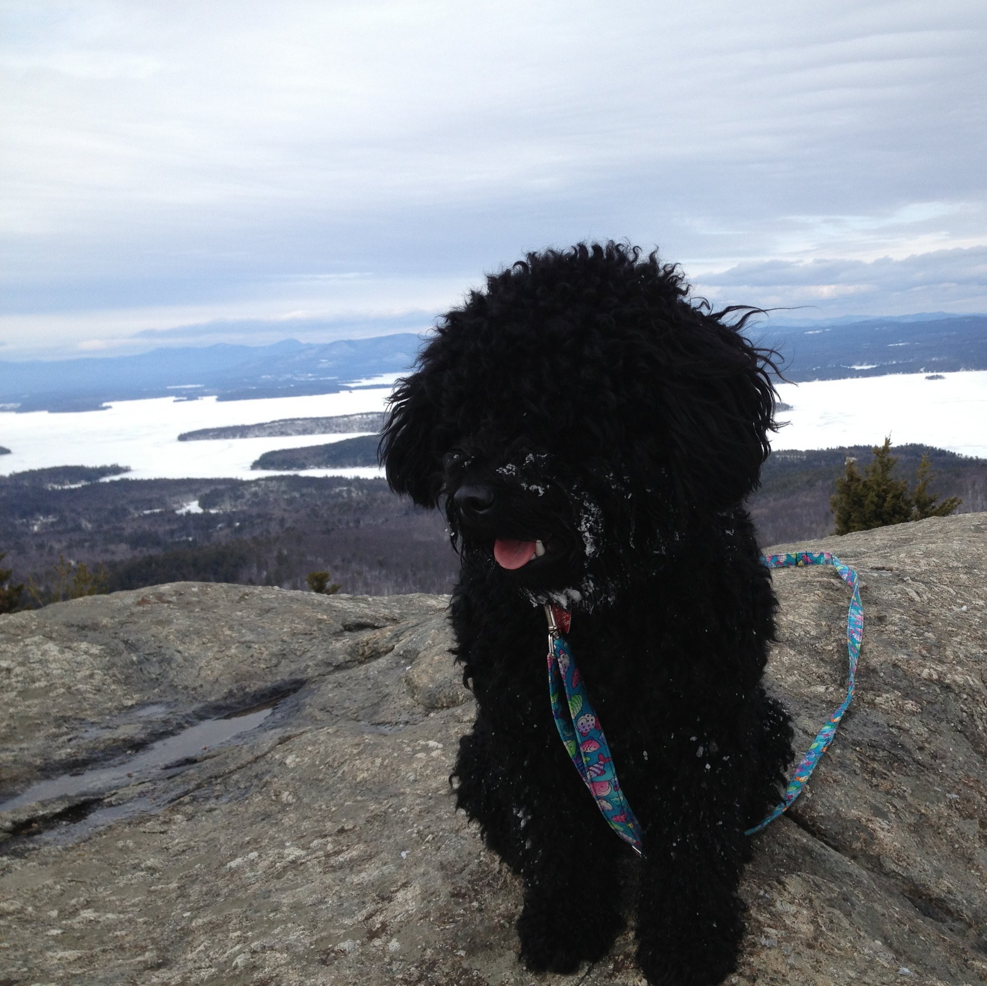
Notes: Highest elevation 1,786’ to summit. Mount Major has one of the best views of Lake Winnipesaukee with three trails that hikers can take to the summit or make a loop out of. The Mount Major Trail is the fastest way up with many, many gorgeous views along the way to the completely open summit. “A couple years ago I showed up at the base of Mt. Major in February and was going to do a run up the mountain in snowshoes. A minute or two after I reached the summit a group showed up on the peak. I went over to one of the gentlemen and inquired what trail they took. His response was with a little chuckle “we took the Art trail”. I stood there for a couple of seconds and couldn’t figure out what he was talking about. He laughed and pointed over at one of his climbing buddies and said “That’s Art and he blazed the trail himself.” Art was in his 70’s and appeared to be in great shape. I asked him how often he climbed the mountain. His reply was 2 – 3 times – 2 – 3 TIMES A DAY ” Over the years, I run into Art on this trail almost every time I go there.
I like to go there with my Puli dog Zuess and the two of us give it all we have to climb it. One day we were able to reach the peak in 20:42 and on the return trip we covered the 1.2 mile trek in 12:12.” – Scott
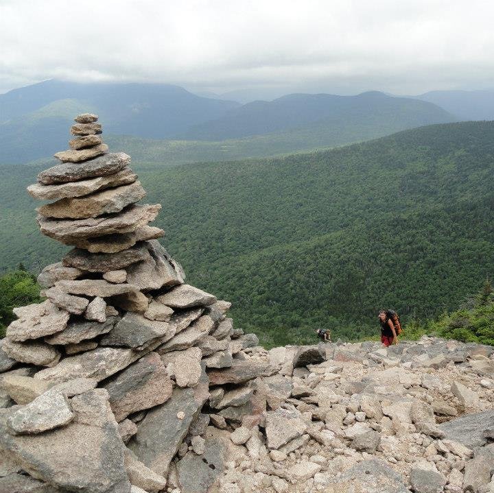
Trail Name: Mount Tripyramid North to Kate Sleeper Trail
Difficulty/Distance: Strenuous/About 19 miles loop
Finding the trailhead: In the White Mountains, take Route 49 into Waterville Valley onto West Branch Road to a big parking area. The parking area is well signed.
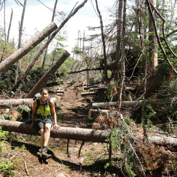
Notes: Highest elevation 4,180’ on North Tripyramid summit. “You need to take the never-ending Livermore Trail for a couple miles with a cascading brook at your side to entertain you. Then the real hike starts with scrambling hand and foot over the scary North Slide and part way down the South Slide before veering off to the left on a barely noticeable trailhead into the secluded Sandwich Wilderness on the Kate Sleeper Trail! The ground is so soft and welcomed after the strain that you just went through. You will meander through secluded woods under a forest filled with Wizard’s Beard which only grows in the purest of air. Then you run into the destruction left behind by Hurricane Sandy which has been painstakingly chiseled back to a trail by the amazing National Forest volunteers. It finally returns to normal where you find perfectly cleared wilderness campsites. You can either turn back or continue up to Mount Whiteface and around that bowl and come out on the Kacamagus Highway. This hike gives you every experience including delicious wild strawberries, blueberries, and tons of wildlife!” – Michele
Trail Name: Bondcliff Trail
Difficulty/Distance: Moderate to Challenging/~18 miles out and back
Finding the trailhead: Take I-93 to exit 32 onto the Kancamagus Highway and continue to the Lincoln Woods Visitors Center.
Notes: Highest elevation is the 4,265’ summit. Many hikers choose to split this hike into two days either by wilderness camping or staying at the Guyot Campsite because of the long run out on the Wilderness Trail just to get to the Bondcliff Trail. Once you get there, it will be sooo worth the effort. It is hailed as having one of the best views in the Whites. “It’s out there but it’s one worth a share!” – Goose
Trail Name: Mount Lovewell section of the Monadnock-Sunapee Greenway
Difficulty/Distance: Easy to Moderate/4.6 miles out and back (The full Greenway is 50 miles long)
Finding the trailhead: In central-western New Hampshire, go to Pillsbury State Park in Washington by taking Route 3 to Halfmoon Pond Road to Lovewell Mountain Road.
Notes: Highest elevation is the 2,473’ summit. This trail brings you up to a popular camping spot by a mountain pond and you then you move around the pond to an easy scramble to the summit for a bird’s eye view of the pond and beyond. “My favorite section is the Greenway is the trail between Pillsbury and Mount Sunapee State Parks – some really nice day hikes can be done from Pillsbury and Mount Sunapee State Parks, but the hike up Mount Lovewell is a quick easy day hike and would be good for kids and families. I’ve never done the whole Monadnock-Sunapee Greenway at once (it’s on my bucket list) but we always run into folks who are doing the entire 50 miles and they LOVE it!!” – Grant
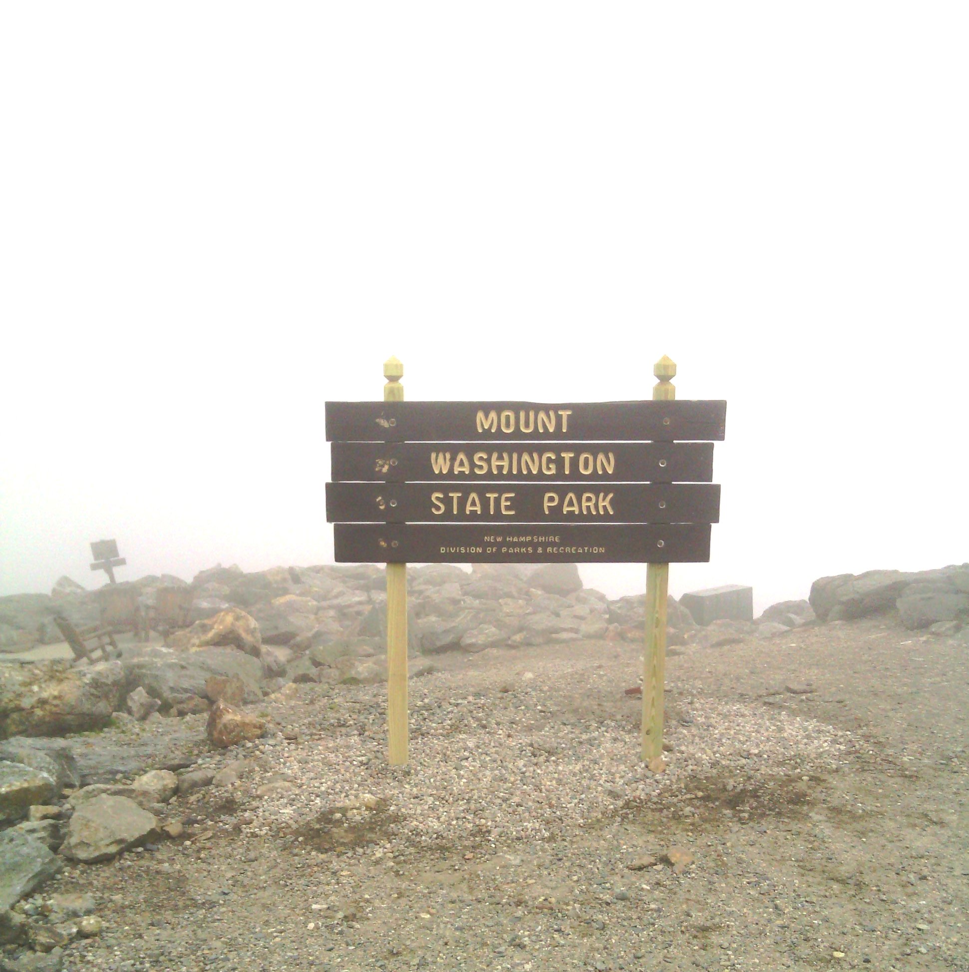
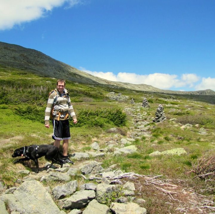
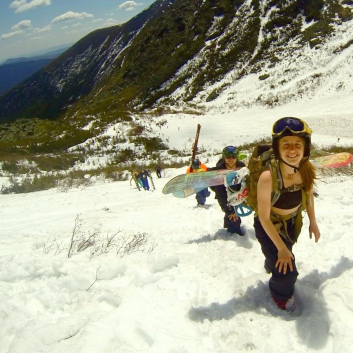
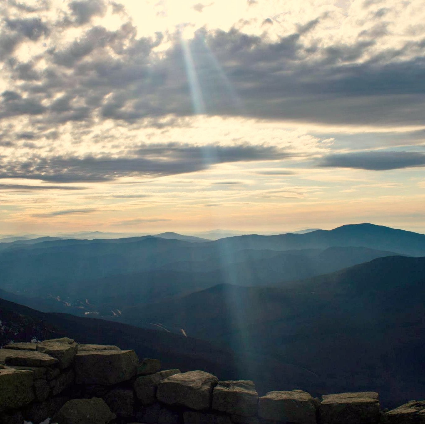
Trail Name: Tuckerman’s Ravine Trail up Mount Washington
Difficulty/Distance: Challenging/~8 miles out and back
Finding the trailhead: In the eastern White Mountains, begin at the Pinkham Notch Visitors Center off of Route 16.
Notes: Highest elevation is the 6,288’ summit. You can do it in the winter like our friend Lily is pictured to get some extreme riding in or to watch the extreme skiers and boarders or you can take her advice and time your adventure when the Alpine Garden is blooming in early summer. The weather is very unpredictable on Mount Washington so you need to be prepared for all weather situations any time of the year. “Best time to do it? When there are blue skies and spring freshies!” – Lily
In addition to Tuckerman’s, there are many other trails that you can also take to conquer this famous peak. Starting in Crawford Notch off of Base Road from Route 302 for the Jewell Trail is another popular way up. We love it because it is also the name of our team captain who chose Mount Washington for her favorite hike too. “I love this hike! It truly gives you a feeling of accomplishment while taking in all that the mountain, the White Mountains, and all New Hampshire has to offer. It does take some time, but every drop of sweat is worth it when you reach the top” – Jewels
I know we said 7 hiking trails but here is a bonus swimming hole to tack on to the blog post!
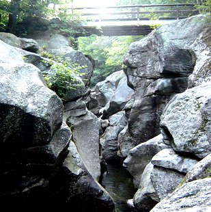
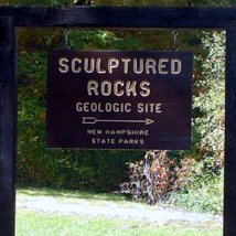
Trail Name: Sculptured Rocks Geologic Site
Difficulty/Distance: Easy/~ A few hundred feet from the parking area over a wooden bridge.
Finding the trailhead: From Groton, take Sculptured Rocks Road and follow signs to the parking area. The spot is pretty far off the main highways near Newfound Lake but is well signed when you get near there.
Notes: This is probably one of the best kept secrets in New Hampshire and one of the most fascinating geological sites you can find. Brave visitors jump into a narrow, glacial carved opening into the cascading falls. “I’m way to chicken to jump so I prefer to hike along the unofficial hiking trail that follows the river to cool off in the calm swimming holes.” – Michele
Running for planet Earth,
the New Hampshire State Park Bloggers Reach the Beach Team